Landscape Information
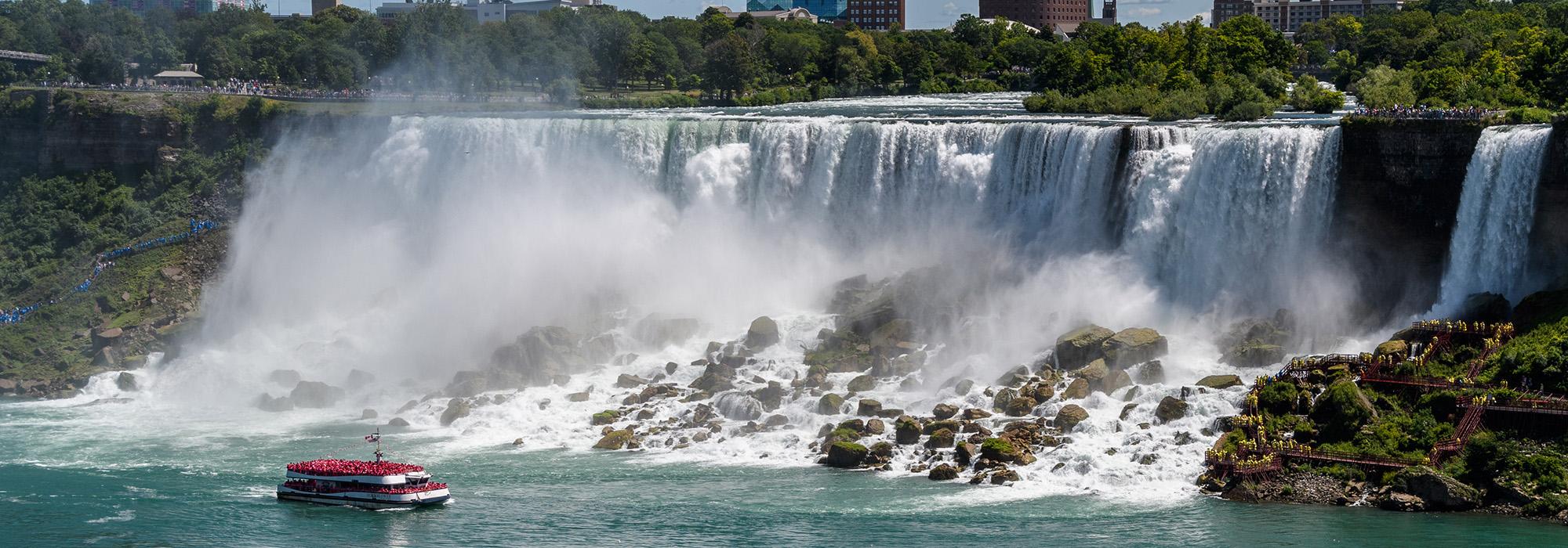
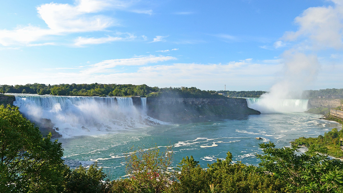
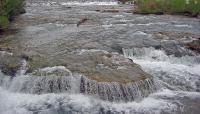
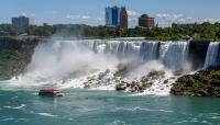
The Niagara Reservation consists of a narrow strip of land along the eastern shore of the Niagara River, centered at the site of the American Falls, and includes a grouping of islands situated in and between the falls: Goat Island, Three Sisters Islands, Robinson Island, Bird Island, Brother Island and Green Island.
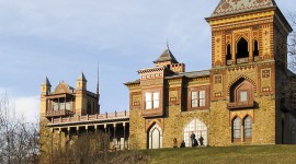
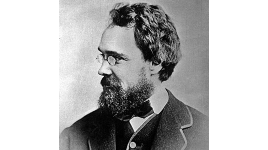
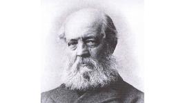
Niagara became a reservation in 1885 when it was designated New York’s first State Park, the oldest state park in the United States. The guidelines that promoted public ownership were put forwarded in a special report in 1879 by Frederick Law Olmsted, Sr., and James T. Gardiner, the head of the state-appointed survey. Olmsted’s previous work on Buffalo’s parks and parkways impressed upon him the importance of protecting Niagara’s landscape. He considered it to be one of the great scenic wonders of the world. The efforts of many, including William Dorsheimer, Henry Hobson Richardson, Frederic Erwin Church and other preservationists over sixteen years led to its protection.
In 1887, Olmsted and Calvert Vaux implemented the 1879 plan, which focused on reclaiming this scenic area from development and proposed a park which would afford access by establishing scenic roads, walks, promenades, seating, and managed views at important picturesque points to enhance the public’s experience while protecting the natural character of the area and screening out views of the city in the distance. Niagara Reservation was designated a National Historic Landmark in 1966.


