Landscape Information
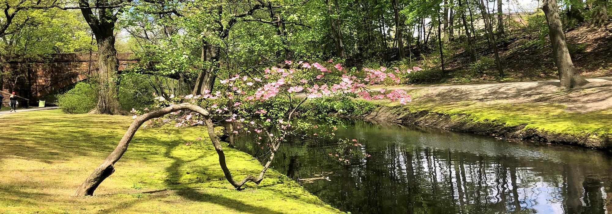
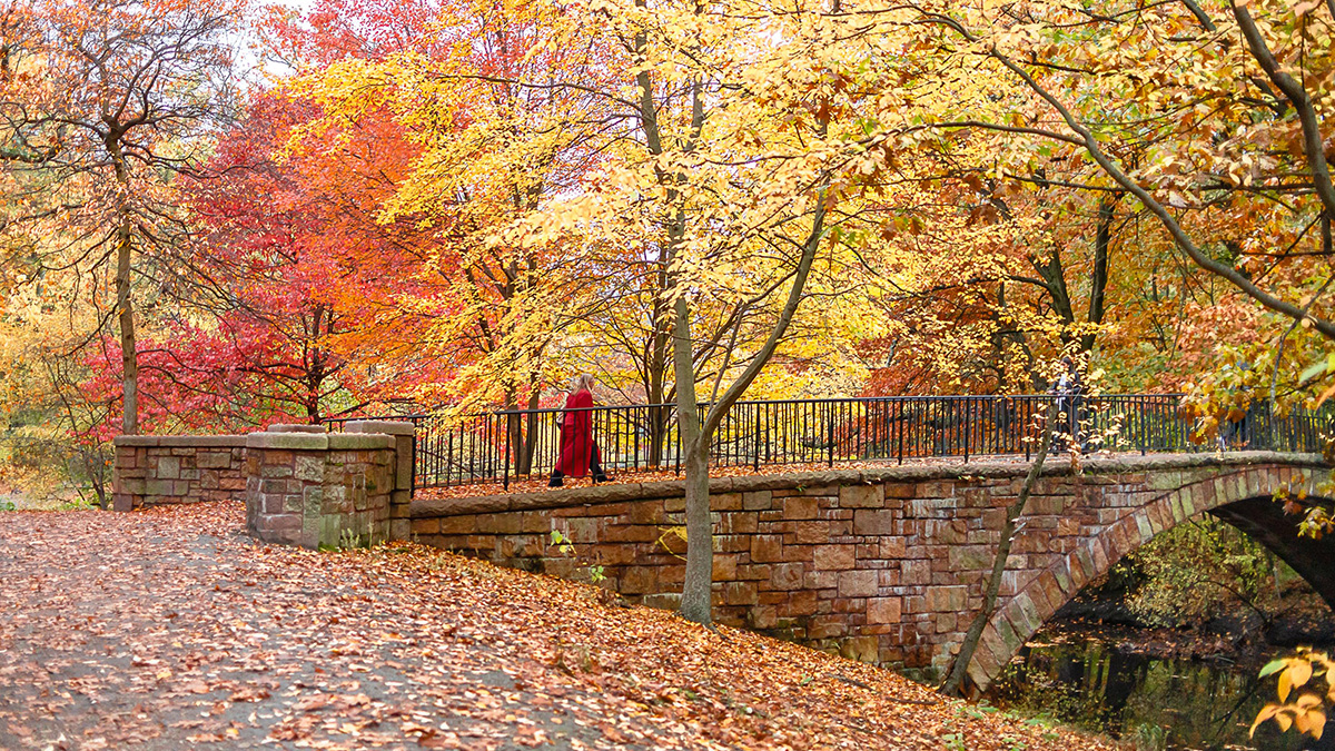
The linear parkland along the Riverway, connecting to Olmsted Park, forms what was originally called the Muddy River Improvement, located on the boundary of the City of Boston and the Town of Brookline. It was described by Frederick Law Olmsted, Sr., in 1881 as “passages of rushy meadow and varied slopes from the upland; trees in groups, diversified by thickets and open glades.” This park was added because of concerns regarding the pollution of the Muddy River. Connected by a common waterway, and falling into two distinct topographical sections, the park was graded and planted along its banks. The design includes a diverse collection of bridges, stairs, and a park shelter. Along with an integrated bridle path, the bridges supported a separation of “ways” (e.g. pedestrian, equestrian); they include the Longwood Bridge (Shepley, Rutan, & Coolidge, architects), the Chapel Street Bridge, two small footbridges leading to the island near Netherlands Road, and the iron Carlton Street Bridge. The Huntington Avenue overpass was a 1936 addition. Along the park’s southeastern edge, the Jamaicaway parkway becomes the Riverway parkway. Between 1988 and 1998, Pressley Associates restored park paths, bridges, and plantings. In 1998, Sears Company returned their parking lot to the city, thus, strengthening the Riverway’s connection to the Back Bay Fens. The restored “Missing Link”, completed by Pressley Associates, was named for former parks commissioner Justine Liff. The Riverway was included in the Emerald Necklace Park master plan by the Walmsley/Pressley Joint Venture. It was listed in the National Register of Historic Places in 1971 as part of the Olmsted System nomination.