Established in the 1830s and named Big Lick in reference to salt outcroppings along the Roanoke River, this town was renamed for the surrounding valley during its emergence as a major railroad stop in the late nineteenth century. Catalyzed by the Norfolk & Western Railway’s decision to base their headquarters there in 1882, Roanoke expanded quickly, with corporate investment in the construction of a depot and hotel; while shops, churches, and other buildings accommodated a population growth from 669 residents in 1880 to more than 16,000 by the end of the decade (and more than 38,000 by 1910).
Roanoke remained a significant transportation and industrial hub through the mid-twentieth century. In 1928 civic leaders worked with landscape architect and city planner John Nolen to develop a comprehensive plan for improved street and park systems—although much of this was never realized. Nevertheless, the array of commercial and institutional buildings and civic-improvement projects implemented in downtown Roanoke reflected the city’s prosperity and prominence in the region.
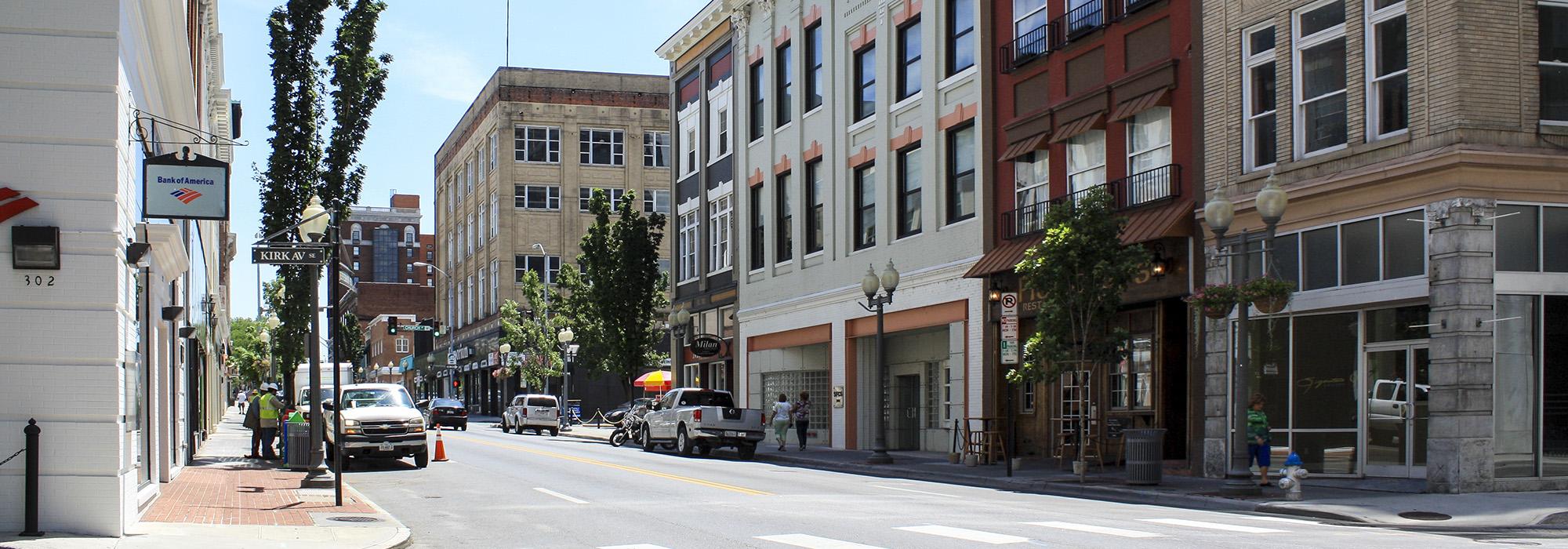
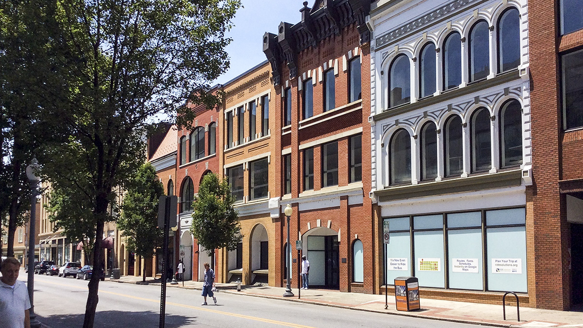
Today, the 47-acre historic district located in the southwestern section of the city continues to serve as Roanoke’s financial, commercial, and governmental center. The district comprises more than 140 buildings representing a range of architectural styles from Victorian and Gothic Revival to Art Deco. Tree-lined streetscapes, interconnected rows of historic structures, period lamp standards, access to the historic railroad, and views of Mill Mountain characterize the district. Listed in the National Register of Historic Places in 2002, the district’s boundaries were increased in 2006 and 2013, reflecting a growing appreciation of its historic identity.