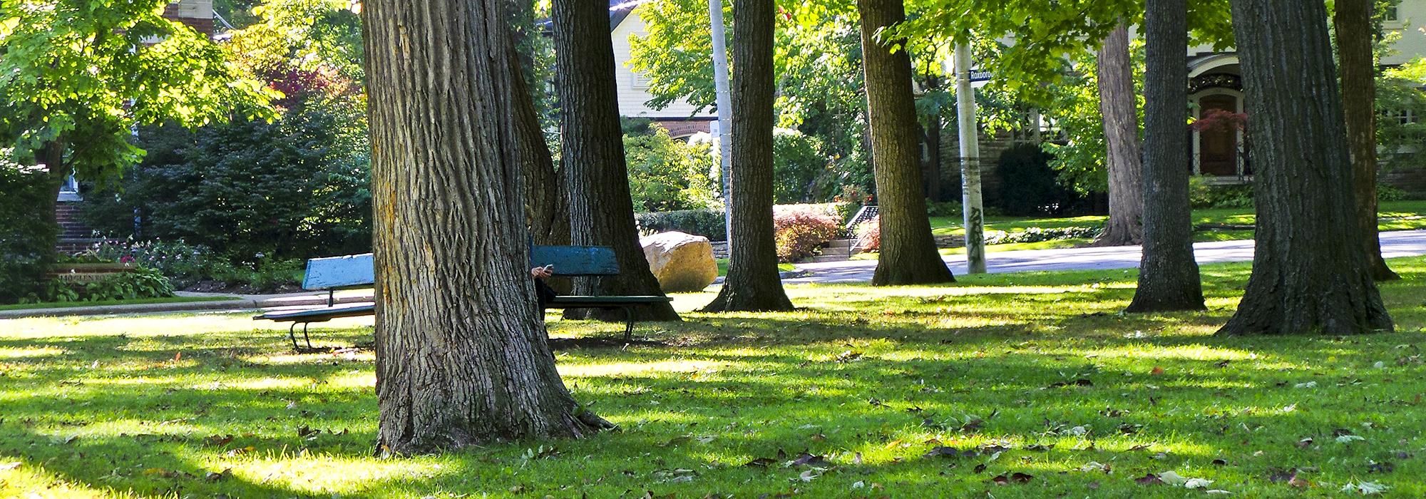
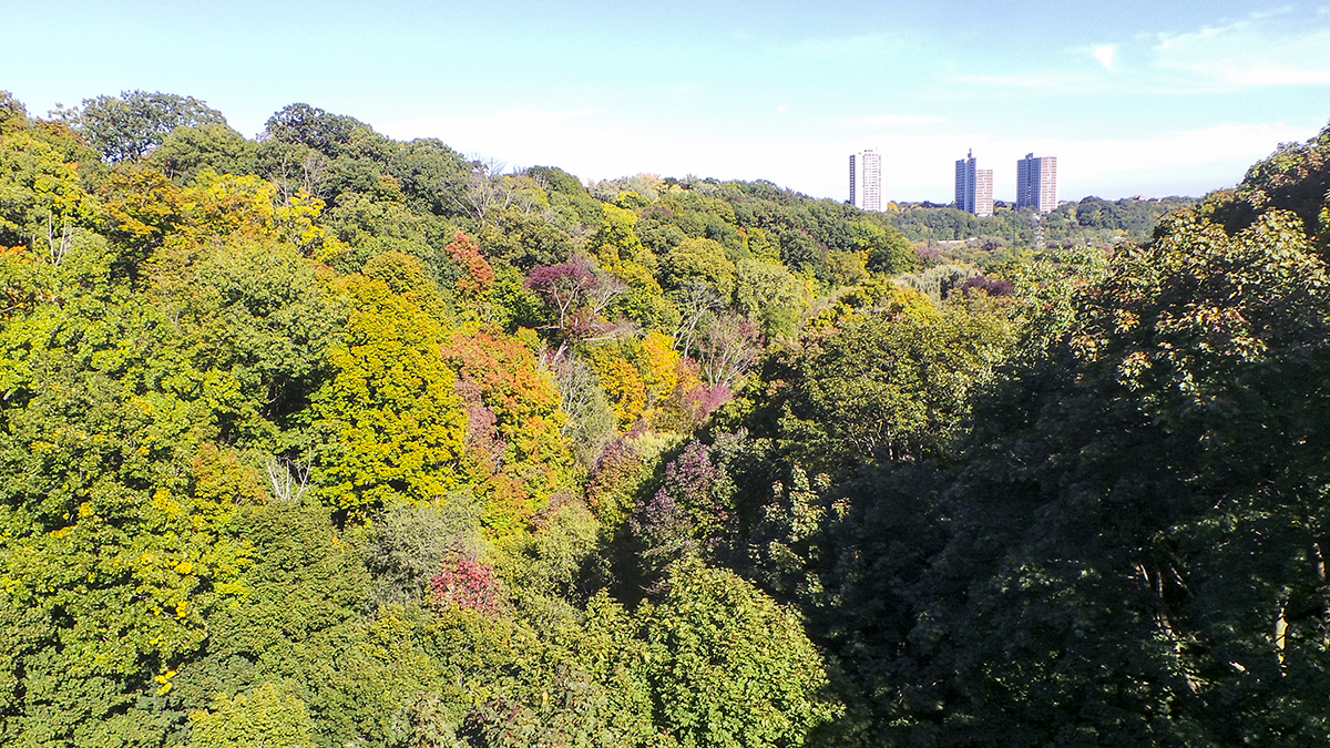
This neighborhood at the northeast corner of the intersection of Bloor and Yonge Streets is set among the natural ravines of the Don River Valley. Park Drive Ravine divides what is today known as Rosedale into northern and southern portions, constituting a barrier that guaranteed their separate historical development. The southern portion developed first, after William Botsford Jarvis acquired Rosedale Villa, the estate of John Small, in 1824, and sold much of it for speculative building. In 1854 surveyor John Stoughton Dennis created plans for a community called Rose Park, one of Canada’s early examples of a curvilinear subdivision, with irregular lots disposed around four winding streets. The design was well suited to the surrounding ravines, and the plan was eventually extended over three adjacent estates. From 1904 to 1914 a few hundred homes were built in what is now southern Rosedale, and many trees were planted along the curving lanes and boulevards.
Although Edgar Jarvis built an iron bridge across Park Drive Ravine in 1881, the northern portion of Rosedale nonetheless developed slowly. In 1884 the Scottish Ontario and Manitoba Land Company registered a plan there for Rosedale Park, but it was made obsolescent by a subsequent plan by Harton Walker in 1908 (for what was then called ‘North Rosedale Park’), which doubled the number of parcels along curving, scenic drives. Vigorous building occurred in the 1920s and 1930s, and although Mt. Pleasant Road, a major traffic artery, was extended through the Rosedale neighborhood in 1950, the natural ravines, curving drives, and mature trees have helped the affluent area to remain relatively secluded from the encroaching city.