Landscape Information
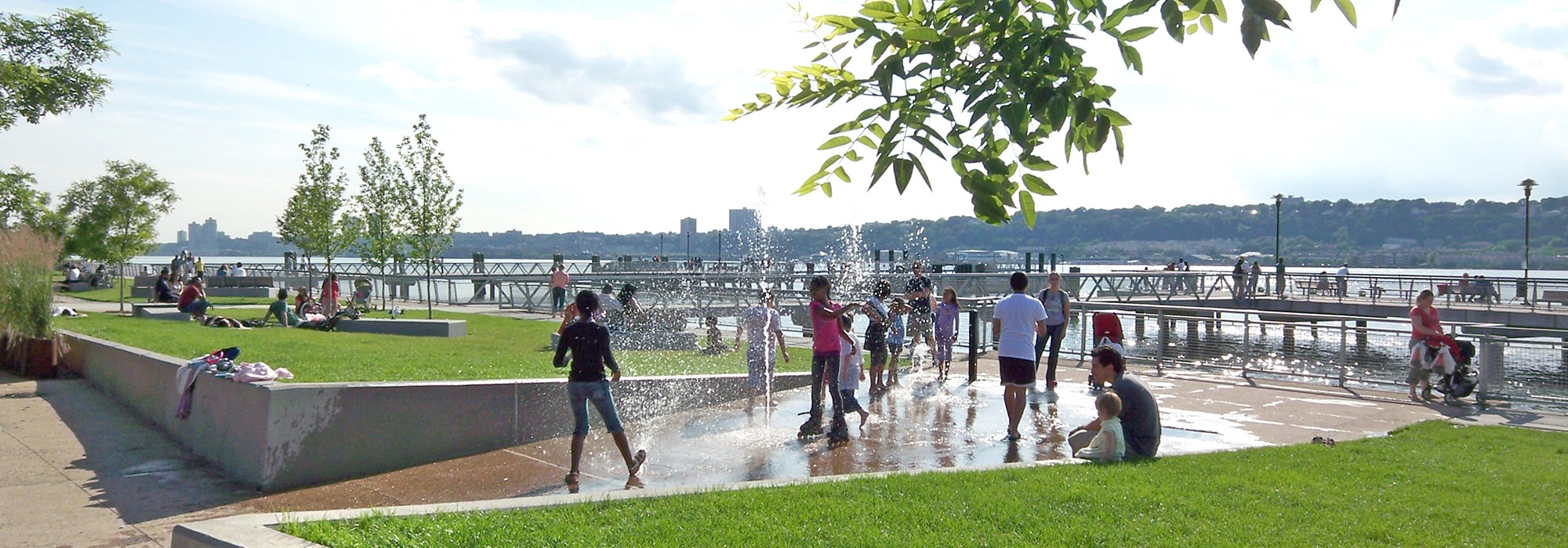
This 4.7-acre linear park extends from West 129th Street to West 133rd Street and is framed by the Hudson River to the west and Marginal Street to the east. Originally a natural cove nestled between two bluffs, the site was long utilized by indigenous people as a river access point and witnessed the Battle of Harlem Heights during the Revolutionary War. In the late seventeenth century, merchants established residences along the river cliffs and the area near the cove developed as Manhattanville. During the nineteenth century the cove was utilized as industrial port and later converted into a parking lot. The site was transformed by W Architecture and Landscape Architecture to reconnect the surrounding neighborhood with a new waterfront park, unveiled in 2008.
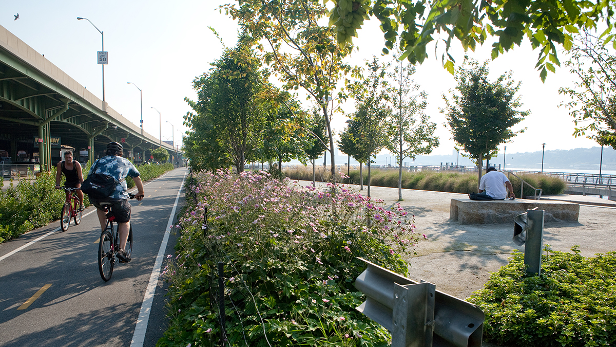
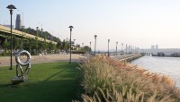
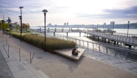
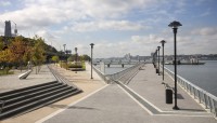
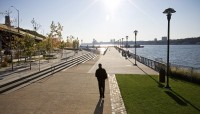
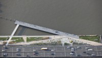
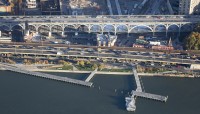
The elevated Henry Hudson Parkway parallels Marginal Street, forming a vertical barrier between the park and the West Harlem neighborhood to the east. Viewed from above, the wedge-shaped park appears like a collection of triangles, both riverine and terrestrial, framed by angled paths and piers. Accessed from the east via The Hudson River Greenway, diagonal paths, meant to evoke waves, lead to a western esplanade and piers that extend over the river, each at a unique orientation. Paved pockets of space are set back from the esplanade’s eastern edge at staggered intervals and depths, accommodating benches that overlook the water. The piers frame a sheltered harbor, referencing the cove that once defined the site. Paths frame sloped lawns and planting beds edged by weathering steel containing perennials and ornamental grasses. Over a hundred trees were established in the park, including northern red oak, Japanese pagoda, black tupelo, black cherry, and serviceberry. The paths and lawns include stainless steel sculptures by Nari Ward and benches composed of concrete and granite sourced from the site’s original bulkhead. Artificial reefs were introduced within the river, reestablishing aquatic habitat for fish and oysters. In 2004, the project received an ASLA National Merit Award in Planning & Analysis.


