Landscape Information
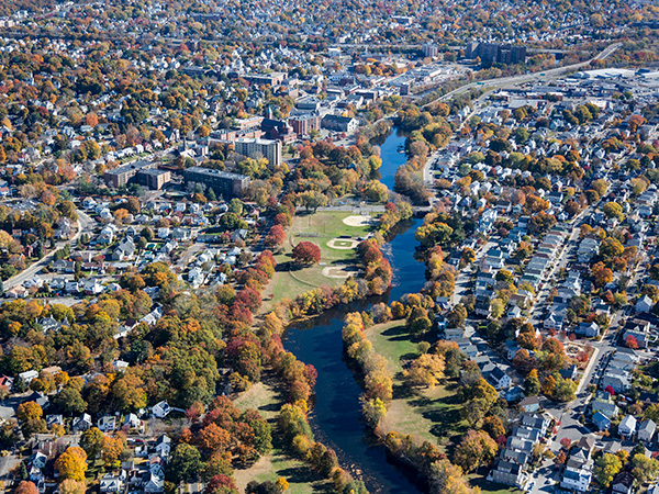
Originating 24 miles northwest of downtown Houston, this watercourse empties into Buffalo Bayou near the location of the city’s founding in 1837. Passing through gently rolling terrain, it is one of many bayous flowing through the city. When Arthur Comey presented his report to the Houston Park Commission in 1913, he recommended that sections of White Oak Bayou should be reserved for parks and parkways because of the bayou’s “beautiful scenery with numerous bends” and “attractive grassy glades.” Unfortunately, due to political upheaval and the economic downturns associated with two world wars and the Great Depression, many of Comey’s suggestions went unheeded. Instead, unchecked private development occurred along many of the city’s bayous, resulting in pollution and periodic flooding. In the 1960s, about half of White Oak Bayou was channelized with reinforced concrete banks.
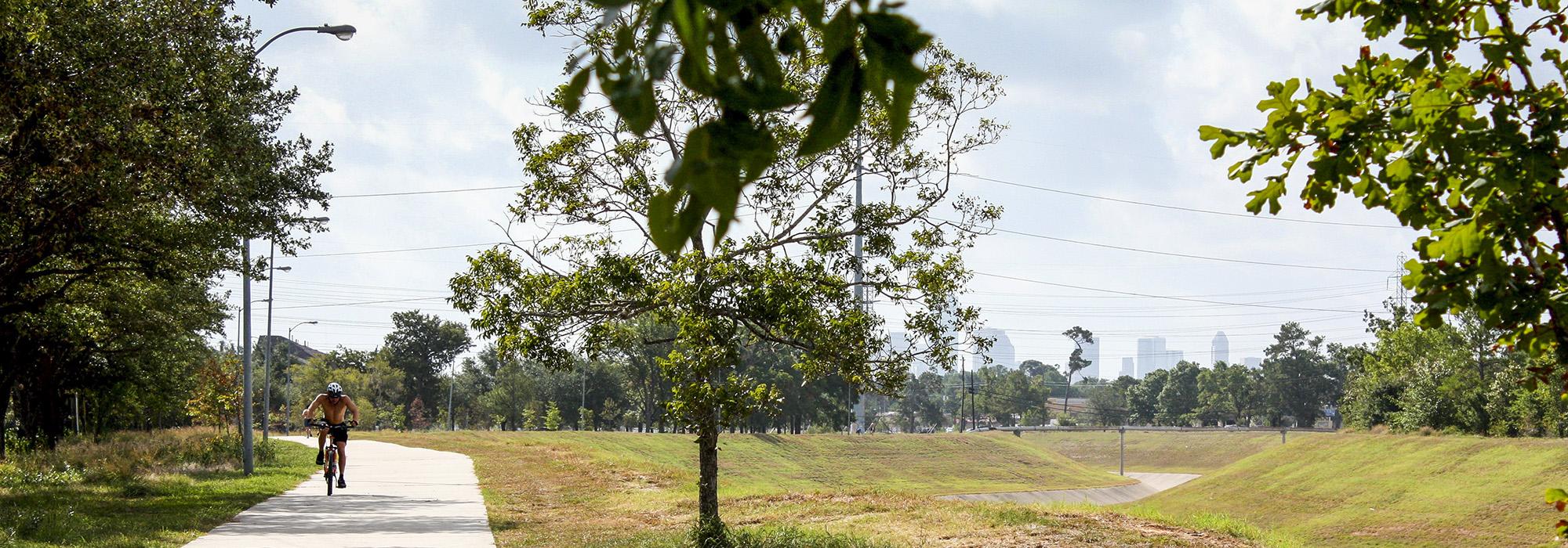
Draining some 111 square miles of dense, urban infill, White Oak Bayou and its tributaries meander a distance of 146 miles. A number of public parks and trails—as well as stormwater-detention basins and other flood mitigation measures—have been established along its banks. Today, Houston Parks Board, the Harris County Flood Control District, and the Houston Parks and Recreation Department are leading the Bayou Greenways 2020 initiative, a plan to expand the already existing, but often discontinuous, network of trails and parks along the city’s bayous. A part of that effort, the White Oak Bayou Greenway consists of a pedestrian and bicycle path that, once complete, will create fifteen miles of linear greenspace. Landscape architects at SWA Group and Clark Condon have worked on various segments of the greenway.


