Landscape Information
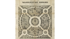
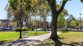
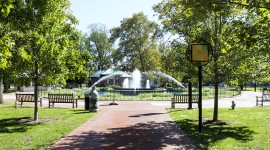
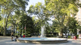
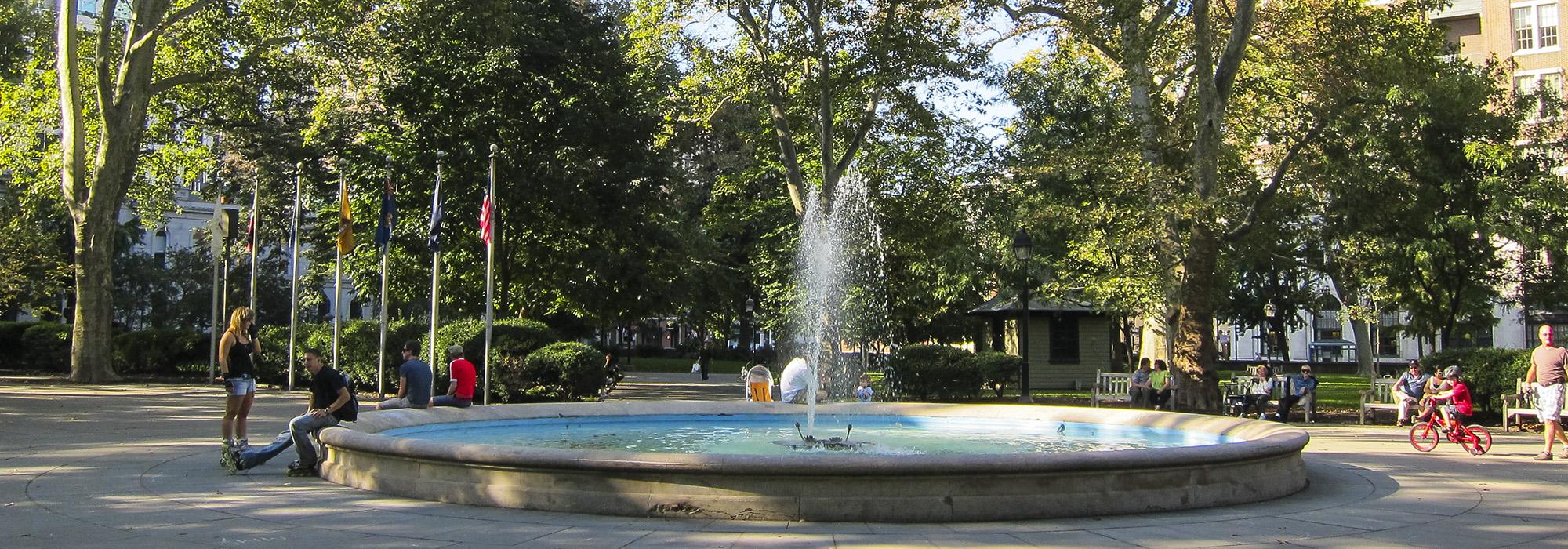
To repay a debt owed to William Penn’s father, King Charles II granted him land southwest of New Jersey. The new territory, Pennsylvania, served as an early safe haven for religious, racial, and gender equality, Quaker ideals which Penn wove into his concept for the design of Philadelphia. The plan was centered on a 1,200-acre plot, laid out by surveyor general Thomas Holme in 1682. It was organized into a rectangular grid pattern with lettered and numbered streets perpendicular to each other and broader civic-oriented streets for commerce and transportation forming the grid’s main axes. Each quadrant features a public square with open green space, today known as Logan, Franklin, Washington, and Rittenhouse Squares. Evenly spaced lots allowed residents to have private outdoor space for gardens and retain a sense of country living within the rapidly-expanding city. Penn’s concept set a precedent for planning in many early American cities.
The greatest alteration to Penn’s plan is the Benjamin Franklin Parkway, begun by Jacques Gréber in 1917. Sections of streets and buildings were removed to create the tree-lined, mile-long parkway that cuts diagonally from City Hall northwest to Fairmount Park, where it terminates on axis with the Philadelphia Museum of Art. Logan Square was transformed to a grand traffic circle, and the parkway is now lined with the museums and cultural institutions envisioned by Gréber. Expressways have also changed the city’s Penn-era fabric, bordering the grid on three sides and particularly affecting Logan and Franklin squares on the Northern side.