Landscape Information
This 88-acre park was originally part of the 120-acre Homewood Estate established by Charles Carroll, Jr., in 1802 and acquired by the Wyman family in 1839. In the early twentieth century Wiliam Wyman acquired additional land and donated 179-acres to Johns Hopkins University in 1902, stipulating that at least 30 acres be given to the city for a public park. In its 1904 Plan for Baltimore, Olmsted Brothers advised that most of the land, located within the Stony Run Valley west of the university, be used as a stream valley reserve. The city then extended the reserve’s southern boundaries to enable a linkage to Druid Hill Park via the Gwynns Falls Parkway. Another portion of the land became the sixteen-acre Wyman Park Dell, intended to serve as an entrance to the valley from the southeast. In 1961 some 31 acres of parkland between Stony Run and St. Martins Drive were sold back to Johns Hopkins University for development.
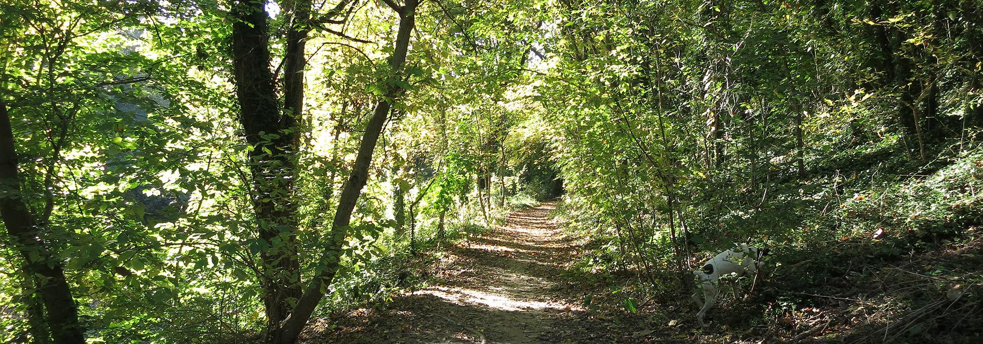
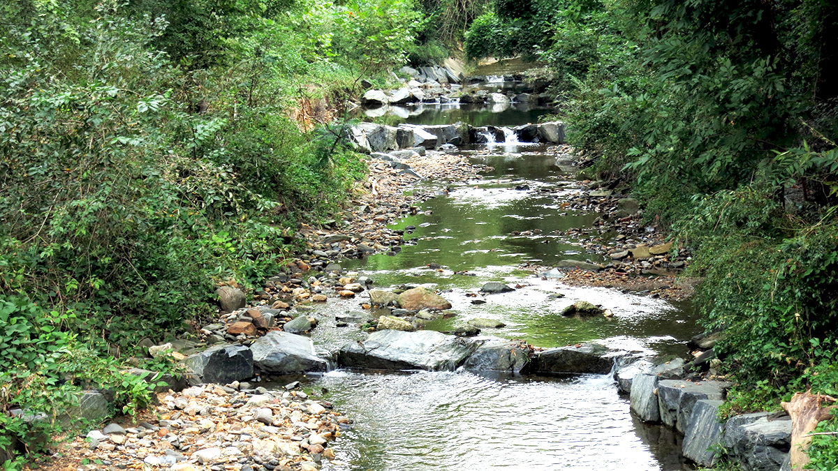
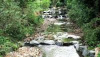
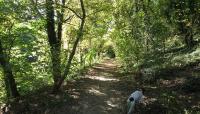
Wyman Park is bounded by University Parkway on the north and Sisson Street to the south. Row houses and apartment complexes abut the site on its long western border, while Johns Hopkins University is located to the east. The landscape’s irregular shape is determined by the Stony Run stream that winds through the park, which is populated with native beech, poplar, and oak trees. An unpaved walking path runs parallel to the streambed, retracing the route of the Maryland and Pennsylvania Railroad that traversed the valley from 1901 to 1958. Recreational fields are at the northern and southern entrances to the park. An overhead bridge passes over Stony Run at Remington Avenue, providing additional connectivity for neighborhoods to the east and west. San Martin’s Drive curves from north to south along the park’s eastern boundary, connecting to Wyman Park Dell.


