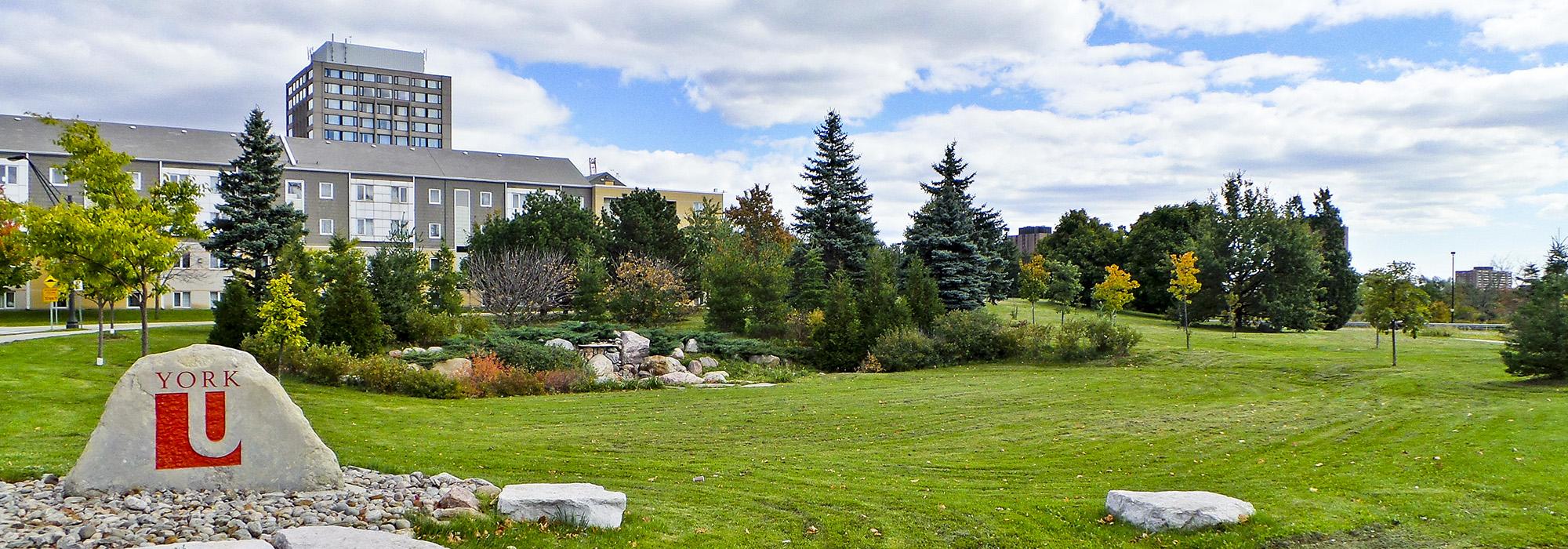
Established in 1962 on 191 hectares of farmland in North York (subsequently increased to 242 hectares), this campus developed according to a master plan (approved in 1963) by UPACE (University Planners, Architects and Consulting Engineers) in consultation with landscape architect Hideo Sasaki. Modernist academic buildings, restricted in height because of the nearby Downsview Airport and spaced closely together, were organized in quadrangles around planted or paved courtyards and encircled by a ring road, with vehicular traffic, parking lots, and sports fields kept beyond its limits. A wide boulevard entering from Keele Street (the campus’s eastern boundary) formed an east-west axis, with science buildings to its north, and arts and humanities buildings to the south, all set within a designed landscape of mounds, berms, and rolling topography.
Three natural ridges cross the campus, which otherwise slopes from the northeast to the southwest, where Black Creek, running along a wooded ravine, forms a natural border. Remnants of several farmsteads and woodlots still exist on the campus, including the Stong farmstead and its farmhouse (circa 1855); Hart House; and the Hoover Farmhouse, overlooking the east bank of Black Creek. In an effort to integrate the campus with its surrounding community, in 1988 a new master plan by IBI Group was adopted, abandoning the ring road concept and superimposing a grid upon the campus. In 1992 the landscape architecture firm Janet Rosenberg + Studio, along with Montgomery Sisam Architects, redesigned the Harry Arthurs Common, where York Boulevard loops around a tree-lined green, with an axial fountain and oval pond on its western end.