Development Threatens Greynolds Park
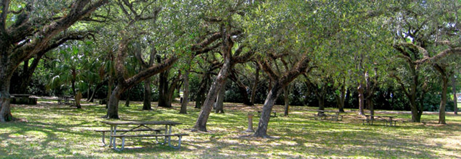
The William Lyman Phillips-designed park, which is a significant cultural landscape and the second oldest park in Miami-Dade County, is under threat: a proposed ten-story high-rise development could impact views and place a significant strain on the park’s fragile ecosystem.
History
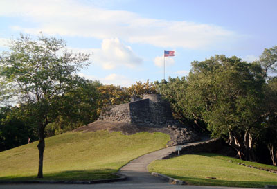
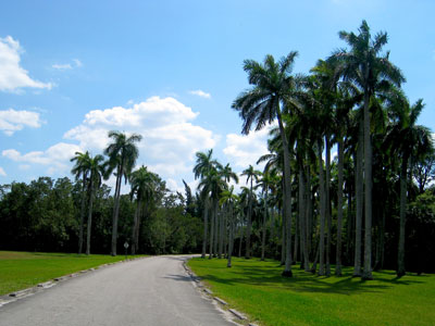
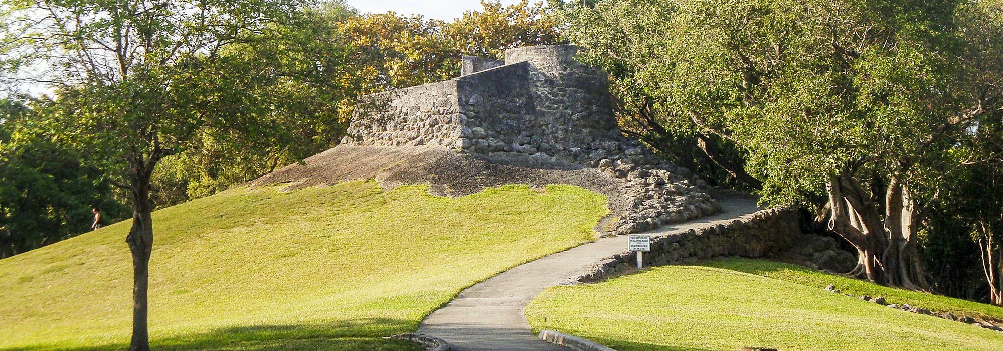
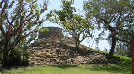
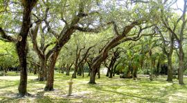
(upper) Greynolds Park Outlook Mound and Tower; (lower) Palm road.Set along Florida’s Oleta River, which centuries ago served as a transportation corridor for the Tequesta Indians, Greynolds Park was once a settlement ground for the tribe, and later home to the Seminole Indians who used the area as a trading post with settlers. In the late 1800s the county, today known as Miami-Dade, obtained the land where Greynolds Park now stands to use as a rock quarry and poor farm. The land contained a rich quantity of oolitic limestone, used to build roads in the early days of South Florida and was mined by several companies before coming into the possession of Albert Otha Greynolds and his Ojus Rock Company.
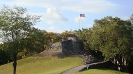
When financial troubles befell the company in the early 1930s, Greynolds agreed to deed the land to the county for use as a park. During the Franklin D. Roosevelt administration the Civilian Conservation Corps (CCC) constructed the park, first under the direction of landscape architect Prentiss French who designed the signature entrance wall and road and then under the direction of William Lyman Phillips who took control of the project after French’s resignation. It was Phillips who designed the rest of the park, including the grounds, the boathouse and the iconic Greynolds Park Outlook Mound and Tower, a grassy knoll created by burying mining equipment from the former quarry. Atop the hill, a stone tower nicknamed the castle creates an overlook, which at 42 feet high was at one time the highest point in the county. It was from this vantage point that thousands witnessed the unobstructed view of Biscayne Bay after its formal dedication in March 1936 by CCC head Robert Fechner.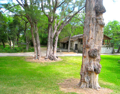
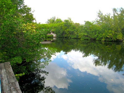
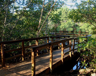
(upper) Greynolds Park boathouse; (middle and lower) Greynolds
Park Lagoon.In the decades following its creation, the 265-acre Greynolds Park has grown and flourished becoming a popular destination for residents and visitors alike. It serves not only as a cultural landscape that significantly enhances the quality of life for South Florida residents, but also is part of an ecosystem unique to the continental U.S. and vital to the ecological stability to the region. The estuarine mangrove forest and tropical hardwood hammocks that make up a majority of the park, are inextricably linked to the Oleta River/Northern Biscayne Bay ecosystem, and act as one of the few remaining strongholds for wildlife in an already densely populated urban area with a history of habitat loss due to development. The transition between these ecological communities creates ecotones that are highly productive and extremely biodiverse, provide habitat for federally listed species such as American Crocodile and Bald Eagle, and support both sport and economically viable commercial fisheries. Preserving coastal wetland communities, such as the ones found in Greynolds Park, goes hand-in-hand with preserving estuarine fish communities and Biscayne Bay.
Threat
In 2012, development plans were announced for a 4.2-acre parcel of land which sits immediately to the south of Greynolds Park. The parkland is part of unincorporated Miami-Dade County while the adjacent land on which the proposed development sits is within the North Miami Beach city limits. Both are located on a small two-lane city street called West Dixie Highway. Until midway through the first decade of the 21st century, the property, now vacant, was the site of a low-scale nursing home. At the time city zoning laws allowed for buildings to have a maximum height of three stories.
The land was sold to a group of out-of-state investors during the height of the housing market. In the fall of 2012, the city council approved an application to rezone the property to commercial high-rise zoning, and in summer of 2013, the council approved a site plan and hotel use for a ten-story, 658,483 square-foot hotel-office complex with 275 hotel rooms and a parking garage for more than 700 vehicles. Both votes were over the objections of local citizens.
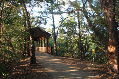
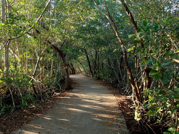 Citizen-objectors filed pending lawsuits challenging both council decisions in 2012 and 2013 respectively. The legal challenge to the rezoning asserts that the City ignored its own code criteria, including that any rezoning be consistent with, and in scale with, the established neighborhood land-use patterns.
The legal challenge to the site plan/hotel use approval asserts that the City ignored code criteria requiring proof that the nearby environment and property values will not be impacted, while ignoring a code prohibition on erecting structures within 100 feet of the Oleta River (the “Oleta River Overlay District”). The proposed development is linked to the riverine system by a connecting adjacent waterway.
Both lawsuits filed to date also assert that council members improperly failed to disclose the entirety of their communications with the developer’s representatives.
By potentially increasing noise and light pollution, significantly blocking or altering historic viewsheds, increasing traffic and non-point source pollution, and casting large shadows that could affect the park landscape and disrupt photosynthesis and energy flow, construction of a multi-level structure immediately adjacent to Greynolds Park would have a significant and perhaps devastating effect on the the park’s myriad scenic, cultural, and ecological values.
How to Help
A group of citizens has formed the Save Greynolds Park Committee. The goal of the Committee is to preserve the beauty and peaceful nature of Greynolds Park for all park visitors and park inhabitants for decades to come. Interested parties can learn more about how to get involved by visiting the Save Greynolds Park Facebook page. Additionally, concerned individuals can write to the Committee at savegreynolds@ymail.com to offer suggestions and get involved.
Photos courtesy the Save Greynolds Park Committee.


