Landscape Information
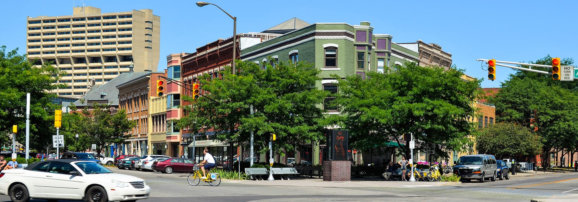
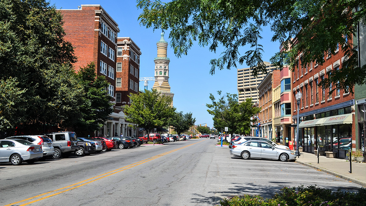
Radiating northeast from Monument Circle, the avenue central to this district was one of the four diagonal thoroughfares laid out in the 1821 Ralston Plan for the city. Its growth as a commercial corridor began in the 1870s with the expansion of a streetcar line into the neighborhood, and the area continued to thrive into the 1930s, when its primary facilities included small retail shops and neighborhood services. A period of decline followed, and improvements were not seen until the 1980s when city planning efforts began to refocus on the northeast quadrant of Indianapolis.
Massachusetts Avenue interrupts the city grid, bisecting streets at a 45-degree angle, thereby creating six-way intersections with triangular plots of land. Commonly referred to as “Mass Ave,” the character of the six-block section stretching from New York Street to Bellefontaine Street is defined by the size, scale and building materials of its ubiquitous two- to five-story brick commercial and residential structures built from the mid-nineteenth through the early twentieth centuries, many of which have since been restored. Several privately-owned open spaces along the corridor afford opportunities for public gathering, including Davlan Park, the courtyard at Lockerbie Marketplace, and the Professional Firefighters Art Park(ing) Court. The Indianapolis Cultural Trail runs along portions of the avenue, reinforcing its connectivity to downtown. In 1982 the Massachusetts Avenue Commercial District was listed in the National Register of Historic Places.