Landscape Information
Situated south of Highway 24 and north of South Fork Solomon River, this unincorporated community, which measures approximately 160 acres, is among the oldest continuously inhabited African American settlements west of the Mississippi River. Established in 1877 by emancipated individuals from Kentucky, Mississippi, and Tennessee, the settlement was promoted by Benjamin “Pap” Singleton, a leading figure in the westward migration of freed African Americans.
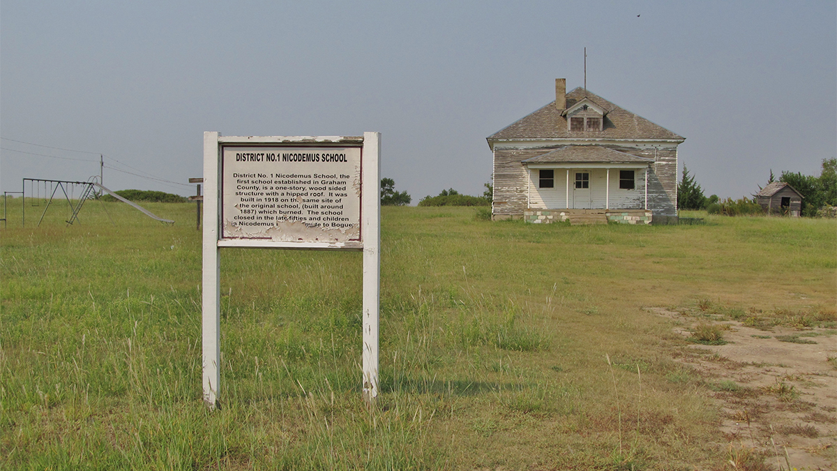
The town’s historic configuration consisted of a level grid of seven blocks east to west, and six-and-a-half blocks north to south. East-west oriented streets were named after American presidents, and north-south streets given numerical names; current streets and parcels still echo this original grid. Early in the town’s development, neighboring African American settlements were established several miles north, west, and southwest.
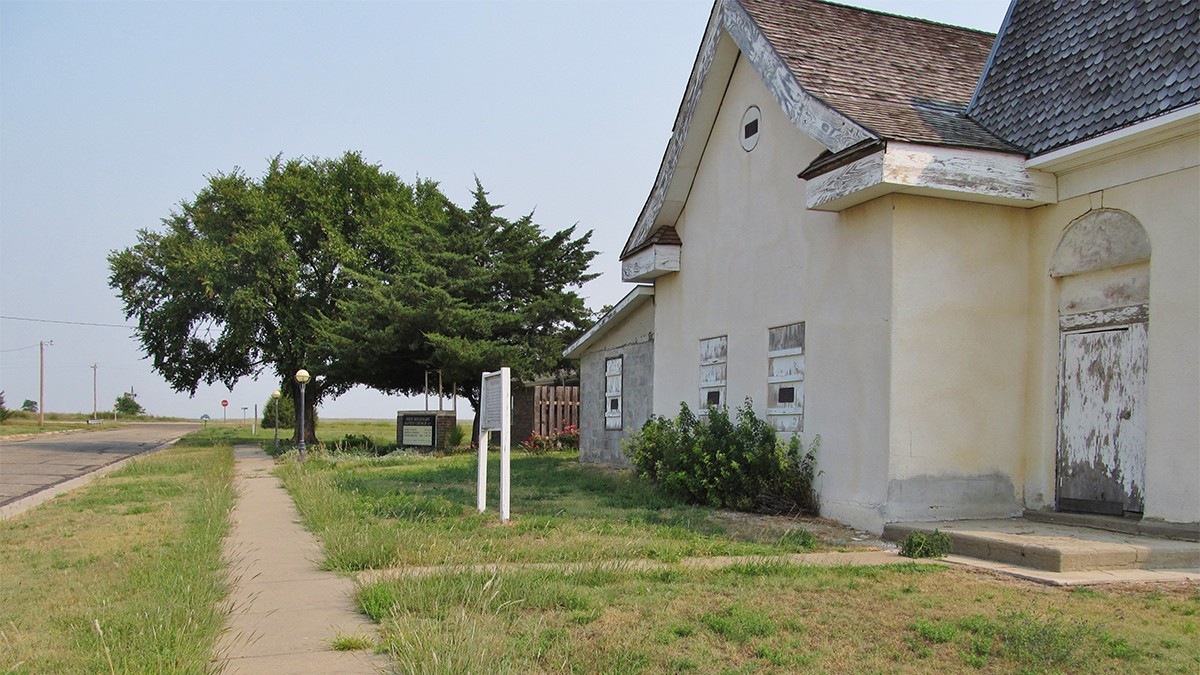
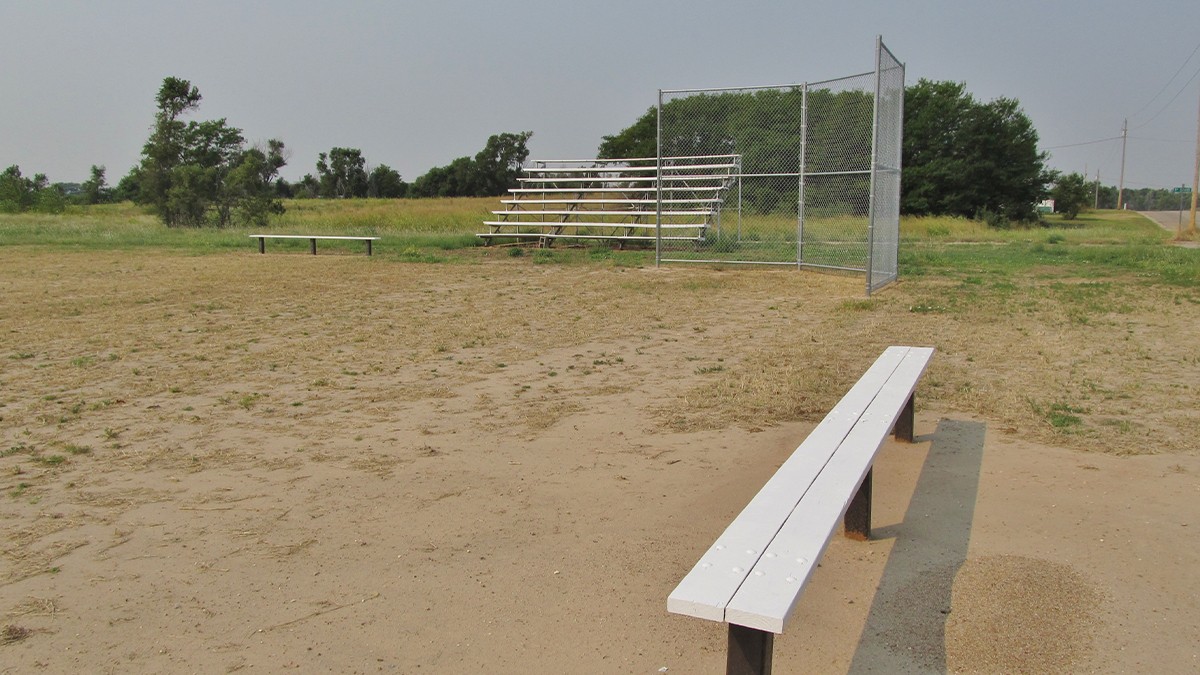
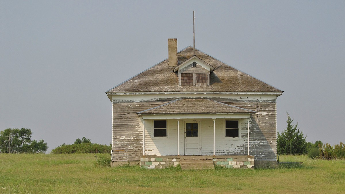
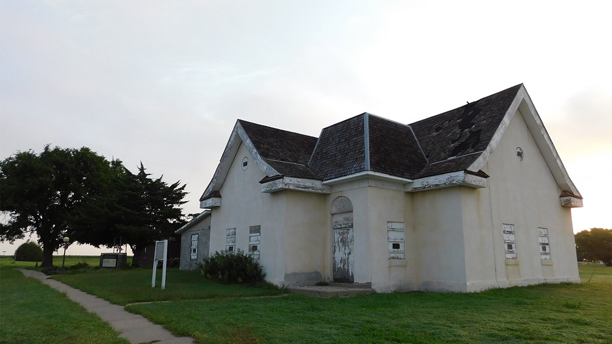
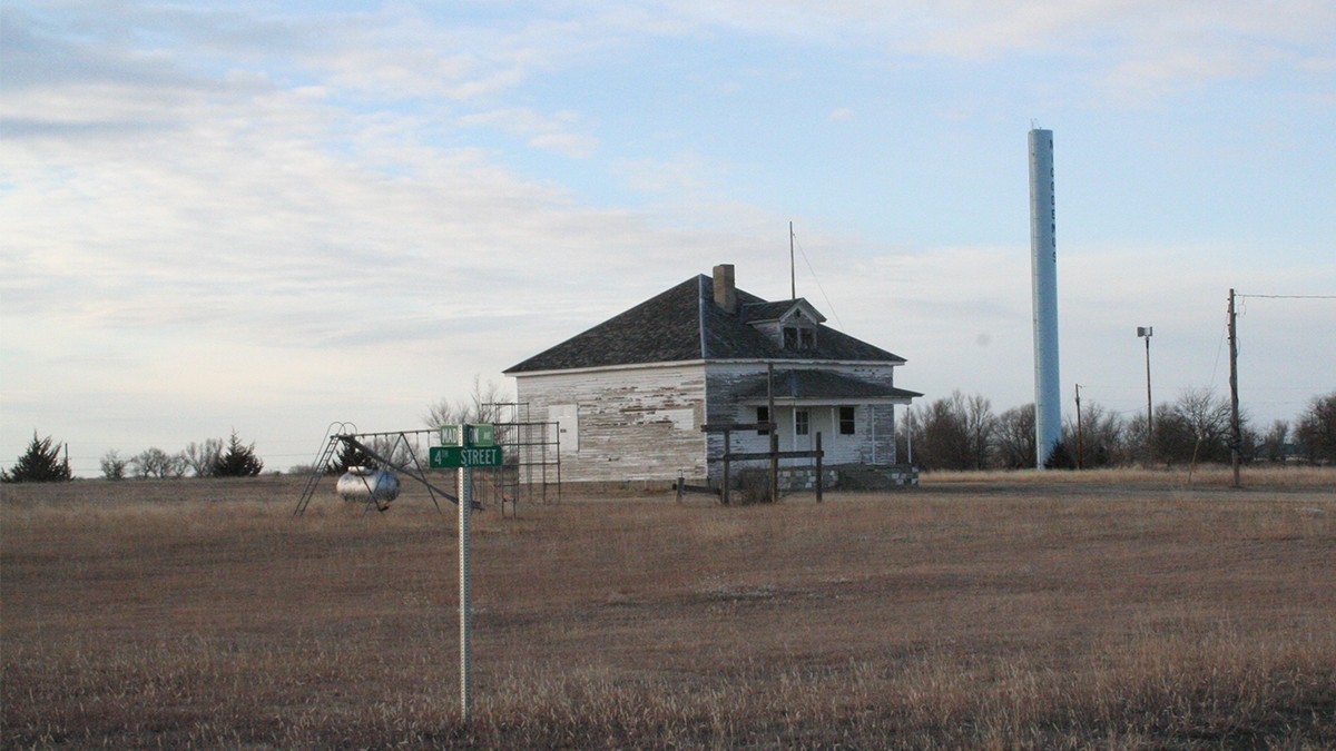
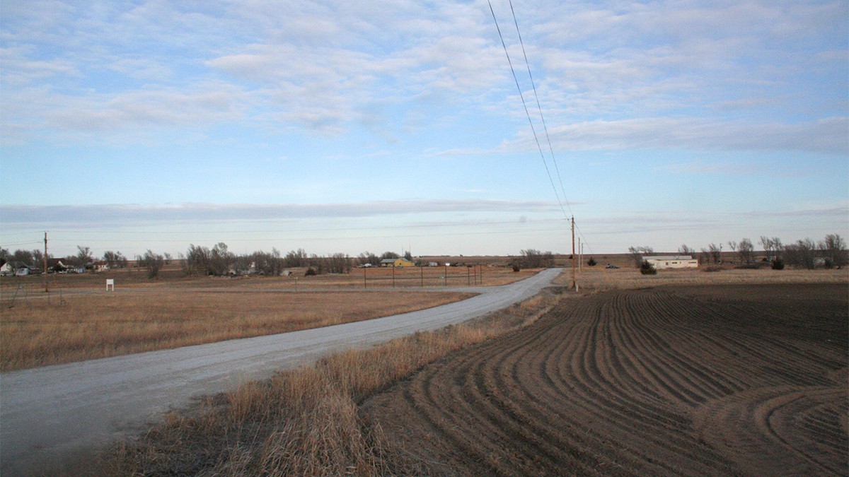
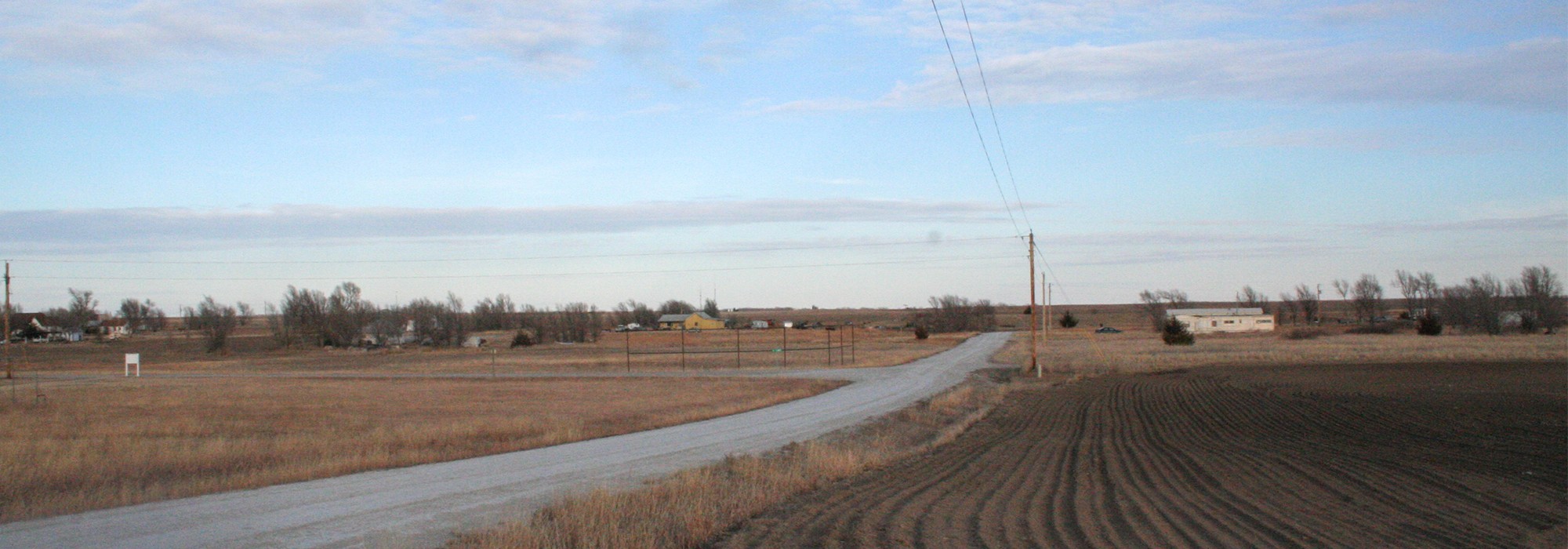
Offering borrowed views of the High Plains prairie, swaths of open fields informally punctuated by trees and shrubs that serve as windbreaks reflect the settlement’s agricultural past. Structures built of locally quarried limestone include Township Hall (now a visitor’s center) on Washington Avenue and Second Street, established by the Works Progress Administration in 1939. Two churches dating to 1877 and 1885 continue to serve the community.
Since 1878, current residents and descendants have gathered annually for Homecoming, honoring the date of Emancipation. In the nineteenth and early twentieth centuries the event was held in Scruggs’ Grove, a stand of cottonwoods to the southwest that no longer survives. Today, the event, which still includes a parade, is held in town. Nicodemus Historic District was listed in the National Register of Historic Places in 1974 and designated a National Historic Landmark in 1976.