Landscape Information
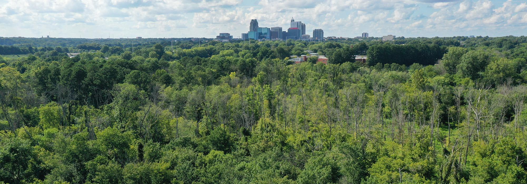
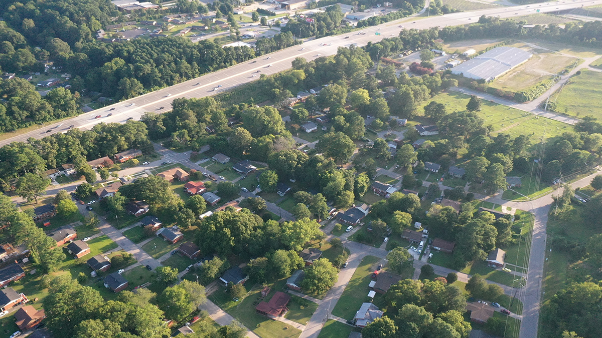
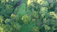
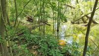
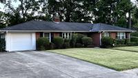
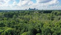
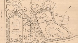
Located in southeast Raleigh within the floodplain of Walnut Creek, this 39-acre neighborhood was one of four housing developments built in the 1950s specifically for Black residents. A cooperative of white and Black developers platted Rochester Heights on land owned by Black businessman L.E. Lightner and named its streets for prominent African American sports and entertainment figures. Roughly bounded by Bailey Drive to the north, Calloway Drive to the south, Garner Road to the west, and State Street to the east, the neighborhood is suburban in character with predominately one-story brick ranch and rambler-style homes built between 1957 and 1964. Lot sizes range from one-fourth acre to one-third acre with set-backs typically around 30 feet, and most homes are placed parallel to the street. While many streets are level, with houses and lawns at-grade with the road, the topography varies along Calloway Drive, with some properties sited with steep drop-offs at the rear and a substantial hill east of Hadley Road. Mature evergreen trees, primarily pine and cypress, are found along streets and within individual properties. Native and invasive plants, including the highly prevalent Chinese privet, can be seen in the neighborhood’s well-maintained lawns and gardens. The development had restrictive covenants to control uses and design elements, though the neighborhood became known for its unique brick mailbox pedestals designed and built by resident masons. Walnut Creek flows to the east, immediately north of Rochester Heights, through land owned by the City of Raleigh now known as the Walnut Creek Wetland Area. Distinct from the subdivisions of Raleigh platted north of the Creek, occupying the high ground between Walnut and Crabtree Creeks, this southern tract of the city is more vulnerable to major flooding events. Rochester Heights was listed in the National Register of Historic Places in 2011.


