Landscape Information
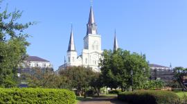
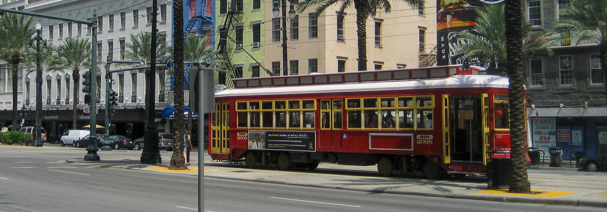
Established as a steam-powered railroad in 1835, the St. Charles Line provided passenger service to the City of New Orleans from unincorporated suburbs outside the city limits. As New Orleans grew, the communities were annexed and the line expanded, going electric in 1893. Today, the St. Charles Line traverses multiple municipal neighborhoods, including the Garden District, Uptown, and Carrollton. Stops along the route include Tulane and Loyola Universities, the Vieux Carré, Audubon Park, and Lafayette Square.
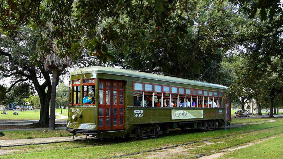
Measuring approximately 13.4 miles in length, much of the St. Charles Line runs along duel tracks at the center of New Orleans’ broad avenues, otherwise known as “neutral ground.” Unlike traditional railroads where the tracks are left exposed, those on the St. Charles Line are covered with topsoil and planted with grass to preserve the picturesque nature of the affluent neighborhoods through which the line travels. The width of the neutral ground averages between 40 and 60 feet; it is graded slightly above the road and edged within concrete curbs. Signage, light fixtures, electrical poles, and concrete sidewalks at the streetcar stops punctuate the route. While the neutral ground is sparsely planted, mature Live Oaks dating to the early twentieth century line the avenues providing a striking tree canopy.
In most other American cities, streetcars have been replaced with buses and automobiles. Thus, the St. Charles Line is the oldest operational street railway in the United States. Perley Thomas streetcars dating from 1923 to 1924 remain in use today, having been restored to their original appearance. The line was listed on the National Register of Historic Places in 1973, and designated a National Historic Landmark in 2014.