Landscape Information
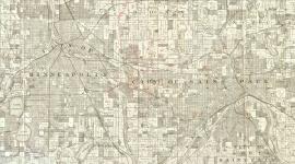
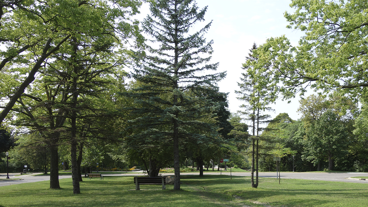
Known for its wide boulevard lined with trees and stately residences, this four-and-a-half mile -long corridor was used as pastureland by mid-nineteenth-century settlers. The avenue stretches from the edge of downtown St. Paul to the city’s western border, and its earliest plantings were oaks and elms. When the majority of the elms were infected by Dutch Elm disease beginning in the 1960s, other species, including maple and pine, came to replace them. Large clusters of shrubs and a canopy of mature trees provide a more naturalistic landscape than more formal European boulevards.
The earliest, easternmost segment is two lanes wide, running atop a bluff that drops down to what was once a steamboat landing and commercial area known as Upper Town. The road’s alignment takes a 30-degree turn west at the top of Ramsey Hill, where Summit Overlook Park provides panoramic views of downtown St. Paul and the Mississippi River. The segment west of Lexington Avenue was intentionally platted as a 200-foot-wide boulevard, inspired by H. W. S. Cleveland's vision of parks and parkways providing green belts within the city. This section was widened and graded in 1886, though not paved for another 30 years. An overlook on the bluff at the boulevard’s western terminus offers vistas of the river valley and the downtown Minneapolis skyline.
Both segments are listed in the National Register of Historic Places, the "Historic Hill" (easternmost portion) in 1976 and the West Summit Avenue Historic District in 1993. The designations are focused on the large number of contributing architect-designed buildings, primarily residences, most of which date to the 1880s to the 1930s.