TMM Files Plan to Mine Near Boundary Waters
On Wednesday, December 18, 2019, Twin Metals Minnesota (TMM) submitted to state and federal regulators its plan for an underground copper-nickel mine in the Superior National Forest near Ely, the northern Minnesota town that is known as the gateway to the Boundary Waters Canoe Area Wilderness (BWCAW), which extends nearly 200 miles along the state’s border with Canada.

The proposed mine would be upstream—and just five miles distant—from the BWCAW, and many groups have long been concerned that mining operations would send sulfuric acid and other pollutants into the Rainy River Watershed, thus adversely affecting the pristine wilderness area. That is because the reserves of copper, nickel, and platinum-group metals that the mine seeks to tap are bound in sulfide ore, which can leach toxic materials and harmful effluent when exposed to air or water.
Just days before TMM submitted its official plan to the Minnesota Department of Natural Resources and the U.S. Bureau of Land Management, language that would have required a study of the full impact of copper-nickel mining on the BWCAW was dropped from a key appropriations bill in the U.S. House of Representatives, as the Duluth News Tribune reported. Representative Betty McCollum, of St. Paul, had included the language in the 2020 Interior-Environment Appropriations Bill, but the measure fell victim to negotiations between Democrats and Republicans as they moved quickly to finalize funding before the end of the year. A subsidiary of Chilean mining company Antofagasta PLC, which has a history of environmental violations, TMM has said that it has already spent more than $450 million to bring the project to fruition. According to ProPublica, since July 2016 the company has spent $1,280,000 on lobbying members of the U.S. Senate, the U.S. House of Representatives, the Department of Agriculture, the Department of the Interior, the Executive Office of the President, the National Economic Council, and the Department of Commerce.

TCLF included the Boundary Waters in its Landslide 2017: Open Season on Open Space after federal legislation was introduced to enable mining leases to be issued and held in perpetuity. That legislation was put forward after the Obama Administration’s Bureau of Land Management denied requests from TMM to renew federal mineral leases in the area while an environmental impact statement (EIS) was being prepared. The Trump Administration, however, quickly reversed the Obama-era decision to suspend the leases, as the U.S. Forest Service announced that it had abandoned plans to conduct the EIS and would instead conduct a less stringent environmental assessment (EA). But the EA, too, was effectively halted in September 2018, with U.S. Forest Service spokesperson Brady Smith telling The Globe that “a science-based analysis" indicated that there was no need for further environmental studies. “Due to what we learned over that time, we determined there was not any need to complete the process on an environmental assessment,” Smith said.

Despite these reversals, a coalition of national, regional, and local organizations continues to advocate for the protection of the BWCAW under the banner of Save the Boundary Waters. The Minnesota Department of Natural Resources has also committed to preparing its own environmental impact statement for the project, “independent of the federal review by the Interior Department’s Bureau of Land Management.”
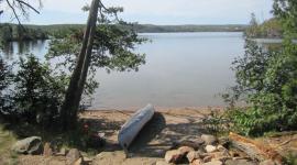
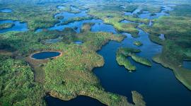
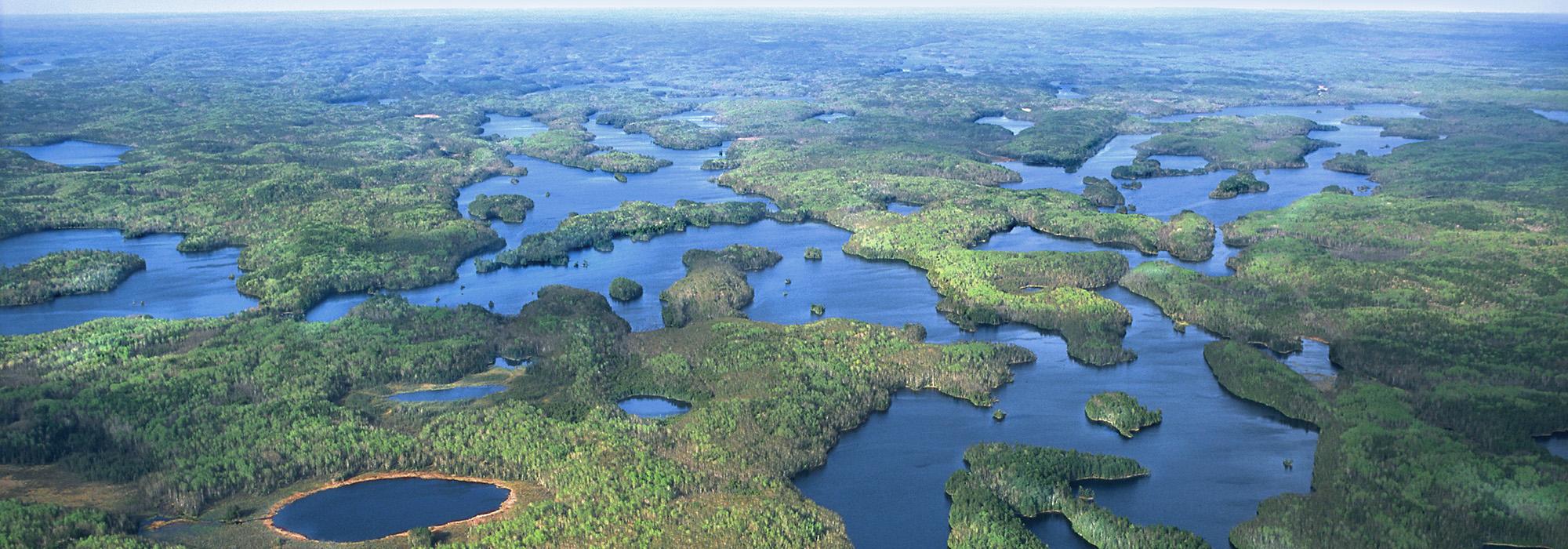
Encompassing 1.1 million acres of natural waterways and forests, the BWCAW includes more than 1,175 lakes and more than 1,000 miles of rivers and streams and is America’s most visited wilderness area. It has been managed by the U.S. Forest Service as a wilderness area since 1909 and was established under the 1964 Wilderness Act as a unit of the National Wilderness Preservation System.