Located along the southern edge of Lake Pontchartrain, this neighborhood was initially founded in 1835 as a resort location beginning with two jetties that extended into the lake from the mouth of the New Basin Canal (at the present-day intersection of Robert E. Lee and West End Boulevard). Original attractions included seafood restaurants raised on stilts and fishing activities in the marshy swamplands and cypress groves along the lakeshore. Between 1871 and 1880, the city drained much of this marshy land, accommodating further development. In 1880, the neighborhood’s name was changed from New Lake End to West End. Vernacular lakefront architecture was slowly replaced with new recreational, residential, and institutional structures. The area saw further change in 1921, when the city took on its most ambitious land reclamation project yet: building a seawall 500 feet out from the shoreline and filling the area with sediment pumped from the bottom of the lake to create the 30-acre West End Park.
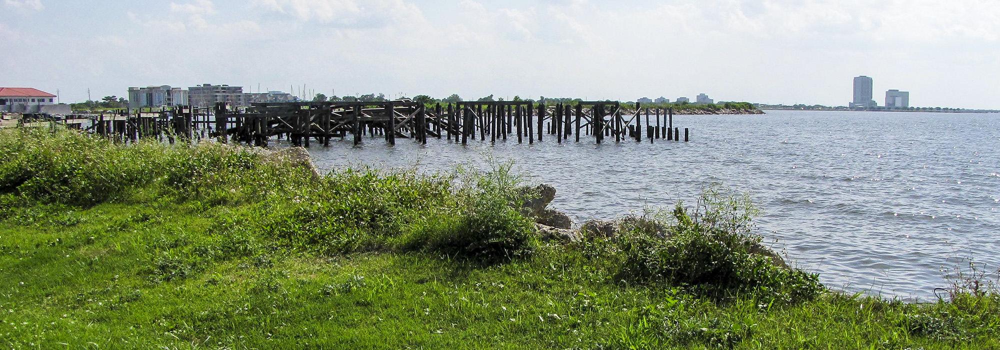
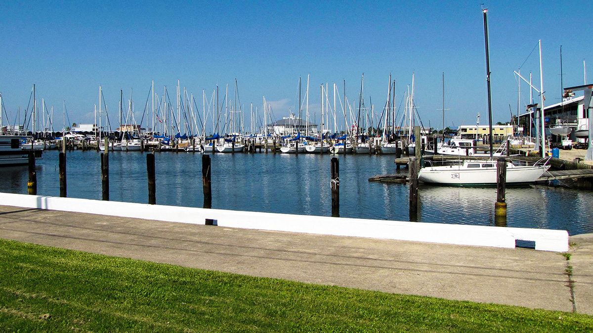
West End is rectilinear in plan, bordered by the 17th Street Canal to the west, Veterans Boulevard to the south, Pontchartrain Boulevard to the east, and Lake Pontchartrain to the north. The southernmost two-thirds of West End are residential, with gridded streets and single-family detached homes. Notable public spaces in this area include Fleur de Lis Park and New Basin Canal Park, which was completed and dedicated in 1990. The northern third of the neighborhood consists of alternating marinas and green space for recreation, including West End Park and Breakwater Park. Storms, especially Hurricane Katrina, have damaged lakefront structures, and abandoned stilts mark the footprints of former restaurants and recreational facilities. The New Canal Lighthouse, relocated to its current site in 1910, marks the entrance to the remaining fragment of the New Basin Canal.