Escape to What’s Out There From Anywhere
Whether you’re planning a trip, learning about a new destination, or revisiting a favorite haunt, the What’s Out There database of cultural landscapes now features nearly 2,100 sites—large and small, famous and obscure—throughout the United States and some portions of Canada.
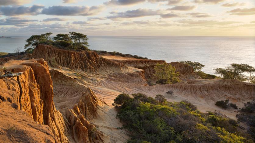
Each richly illustrated site description includes the name(s) of the landscape architect or associated designers, the type and style of the landscape, its history, and other pertinent information. Over the past few years, we’ve expanded the style menu to include “Mediterranean,” which covers designed landscapes like Val Verde in Santa Barbara, California, and Vizcaya in Miami, Florida, and “Postmodernist,” to describe Piazza d’Italia in New Orleans, Louisiana, for example, and the Los Angeles Open Space Network in California, and “naturalistic or cohesive,” which includes the Denver Mountain Parks System in Colorado and Torrey Pines State Natural Reserve in San Diego, California.
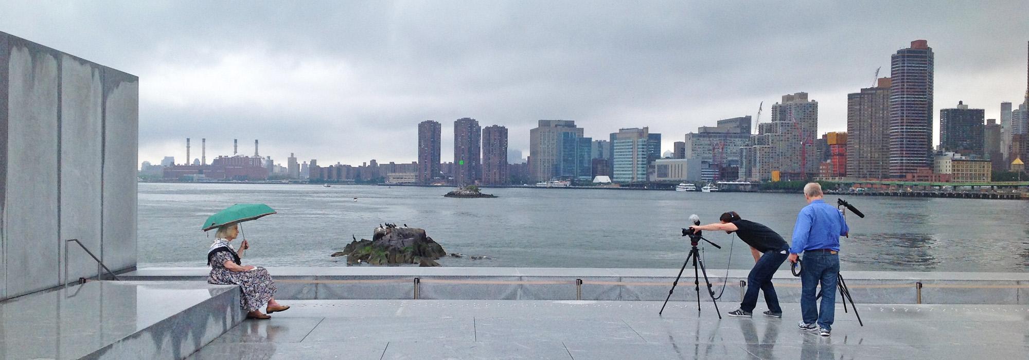
Many of these entries also include videotaped interviews with the landscape architects behind the designs. Imagine visiting FDR Four Freedoms Park in New York City as you watch and hear landscape architect Harriet Pattison talking about the design she developed with architect Louis Kahn, or describing opening day and meeting President Bill Clinton. You can also visit Gas Works Park in Seattle, Washington, and watch landscape architect Richard Haag explain the design for this revolutionary public space.
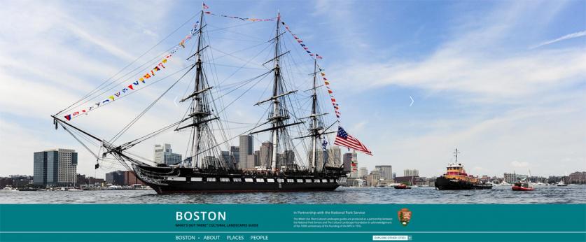
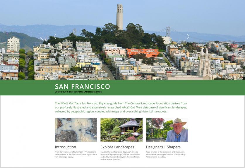
And for those who prefer a more holistic approach, there are seventeen online city and regional guides for destinations including Boston, Chicago, New Orleans, and the San Francisco Bay Area, with five of the guides having been produced in collaboration with the National Park Service. Each city and regional guide features overarching narratives, maps, historic and contemporary photographs, and concise essays about each locale.
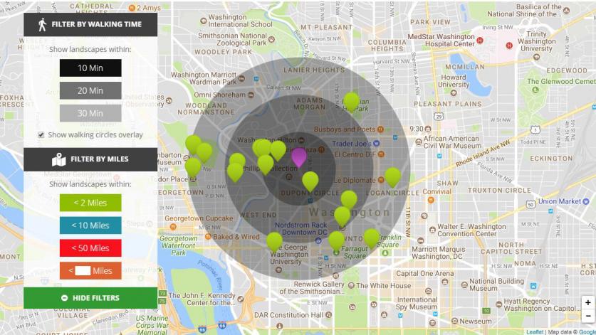
The entire What’s Out There database and the city guides have been optimized for smartphones and other handheld devices and include the What’s Nearby feature—a GPS-enabled function that locates all landscapes within a given distance of the user, customizable by mileage or walking time (ten, twenty or thirty minutes). It’s easy to use, and there’s no app to download: Just go to tclf.org and explore. In addition, users can search the database and create custom lists that can then be exported in the form of an electronic CSV (Common Separated Values) file, including the popular Excel spreadsheet.
Now more than ever, we need your support as we continue to reveal the fascinating stories behind our shared landscape legacy.


