Landscape Information
Situated in western Los Angeles County, this 5.7-square-mile city was part of a 4,500 acre Mexican land grant deeded to Maria Rita Valdez Villa in 1828. The land was initially used as a horse and cattle ranch, then was converted to lima bean fields before being purchased for oil development in 1900. Instead of finding oil the Amalgamated Oil Company discovered rich water sources and converted their company into the Rodeo Land and Water Company.
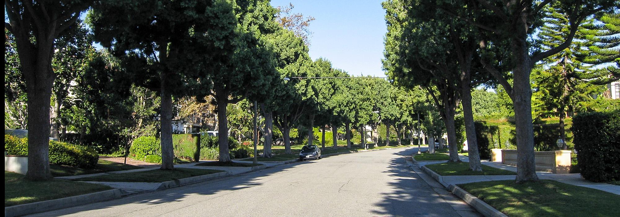
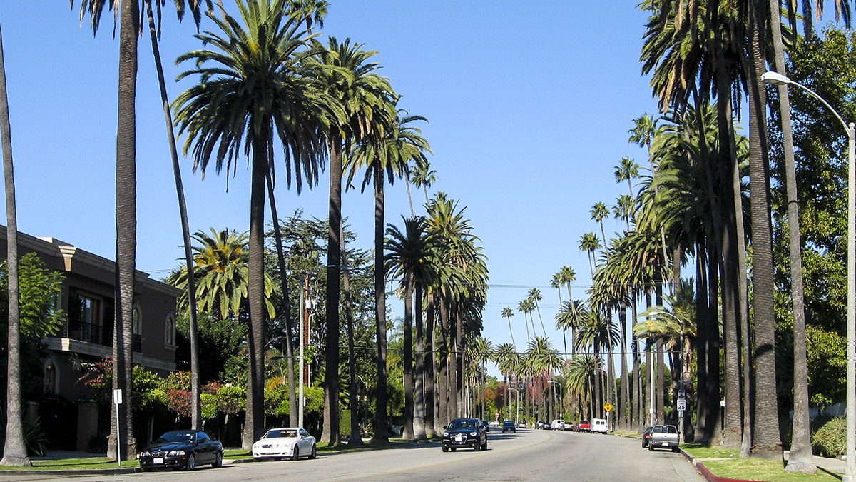
In 1907, owner Burton Green renamed the area “Beverly Hills.” He envisioned the development of a desirable residential enclave in the burgeoning city of Los Angeles and commissioned landscape architect and urban planner Wilbur Cook and architect Myron Hunt to design the master plan. Cook created a community of private estates set within a lush, park-like environment between Santa Monica and Sunset boulevards. A gently curving grid of tree-lined streets divided the properties, with larger spacious lots to the north on steeper terrain and smaller parcels to the south. Cook lined the streets with regular rows of palms and deciduous trees and set houses generously back from the sidewalks, screened with hedges of flowering shrubs. He incorporated several public parks, including Santa Monica Park, a three-block-long green space renamed Beverly Gardens Park which was expanded to 23 blocks and designed by Cook’s business partner Ralph Cornell in 1931. In 1912 Cook designed the grounds of the Beverly Hills Hotel, a development which Green spearheaded to attract wealthy residents. Two years later Beverly Hills was incorporated as a city within Los Angeles County.