Landscape Information
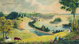
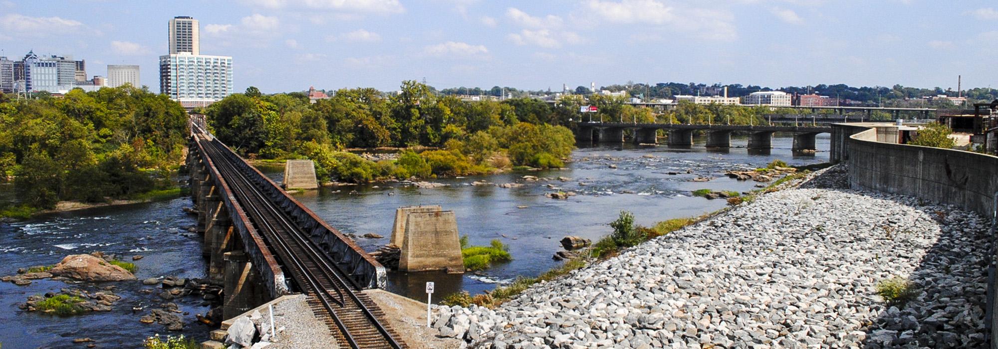
This network of fourteen parks along eight miles of the James River was begun in 1972 when John W. Keith, Jr. and Charles J. Schaefer donated the first parcels in order to preserve the river shoreline. Landscape architects Danadjieva and Koenig Associates’ 1978 conceptual design envisioned the park system as a unifying element for the city, connecting downtown Richmond with the river and offering pedestrian access along it, highlighting island gardens that vary with the changing seasons and water fluctuations. The park system now encompasses 550 acres stretching from Huguenot Bridge eastward beyond the I-95 bridge.
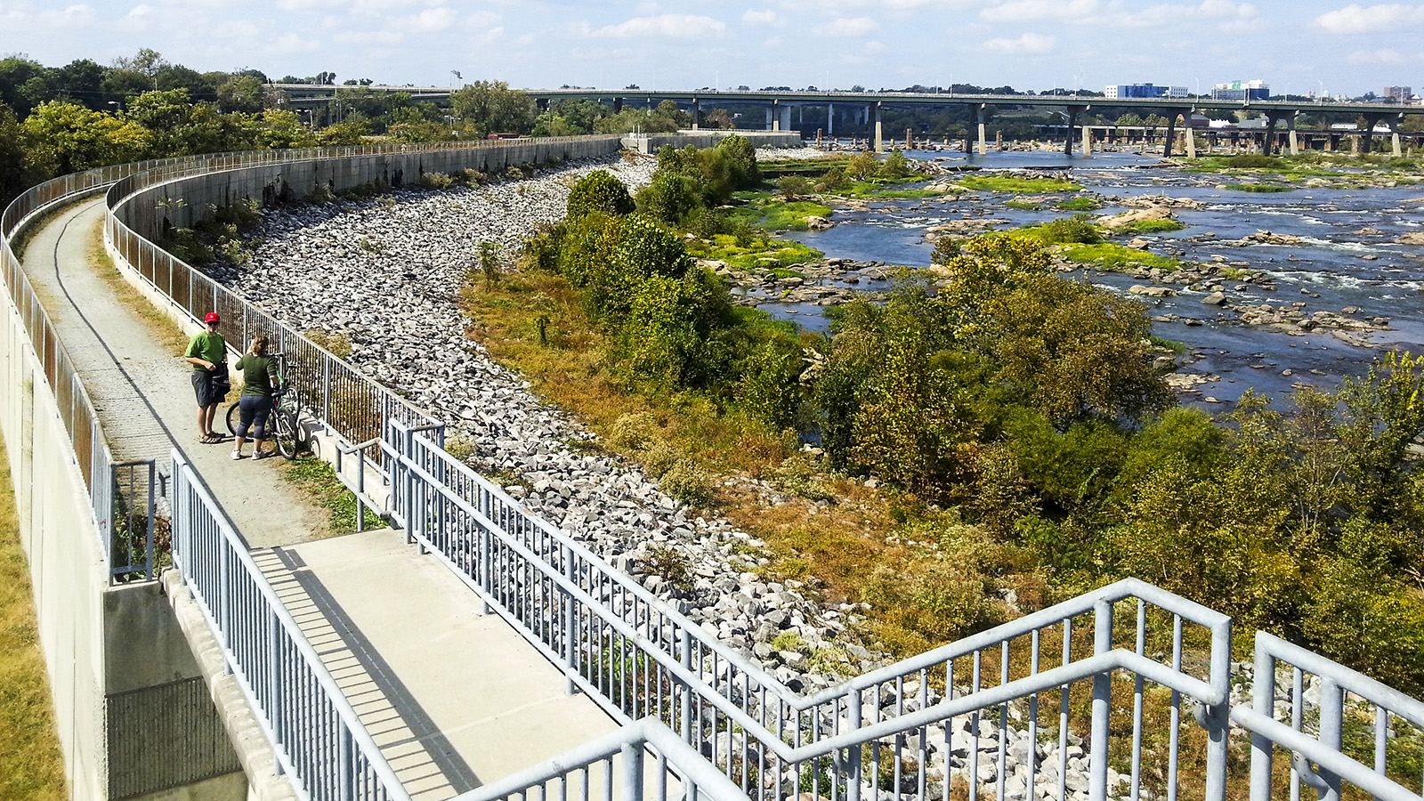
Many of the parks in the system bear remnants of historic heavy industry, which utilized the rapids to generate hydroelectricity at the river's fall line. An old bridge pier is now a climbing wall; a pipeline beneath an elevated train viaduct supports a steel boardwalk; quarry remnants exist as square rocks in the water; and park paths wind through woodlands, marshes, and on top of a levee on the river's southern bank—all components of Danadjieva’s design. Ancarrow’s Landing, the eastern-most park, begins the Slave Trail, an interpretive walk that acknowledges slave and immigrant contributions to river industry and the river’s role as slave shipping route.
The Friends of the James River Park System provide ongoing maintenance for the parks, while a conservation easement established in 2009 restricts future development on more than 200 acres of riverfront parkland.