Landscape Information
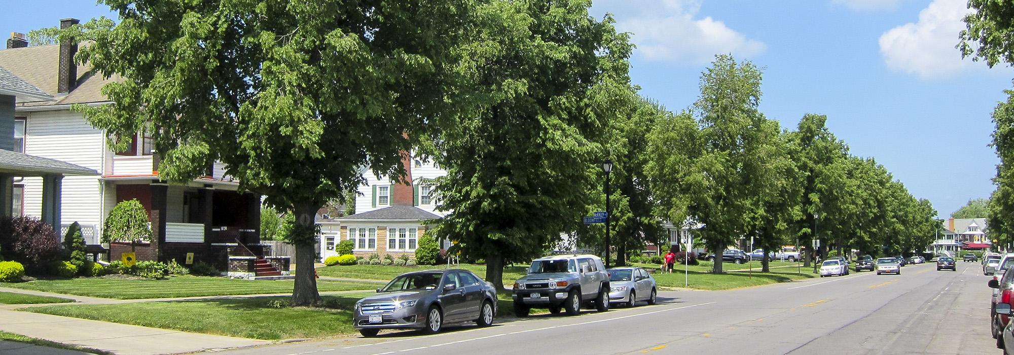
This 2.6-mile-long, tree-lined corridor forms the backbone of Olmsted, Olmsted & Eliot’s second phase of parkways development for Buffalo, which extended into the southern part of the city. Designed and constructed between 1892 and 1896 on a more modest scale than the 200-foot-wide boulevards to the north, these narrower 100-foot rights-of-way lacked a central median and were closer in appearance to the avenues that played a supporting role in the parkway system. The parkways nonetheless provided a dignified framework for the residential development of South Buffalo. Originally known as Southside Parkway, this thoroughfare was renamed following President McKinley’s assassination while attending the Pan-American Exposition in Buffalo in 1901.
At its inception, the parkway originated at the four-acre, diamond-shaped Heacock Park, later renamed Heacock Place, which antedated the Olmsted firm’s design. The parkway bisects the park, having been extended three blocks north to Bailey Avenue in 1920. McKinley Parkway begins near the confluence of the Buffalo River and Cazenovia Creek and runs south to its terminus at the entrance to South Park. Along its course the parkway encounters McClellan Circle where it intersects with Red Jacket Parkway, which carries traffic eastward to Cazenovia Park. Farther south lies McKinley Circle, constructed by the Buffalo Olmsted Parks Conservancy in 2002 from unbuilt plans. For most of its length, McKinley Parkway is bordered by four-square and bungalow homes built in the first half of the twentieth century. Maintained by the Buffalo Olmsted Parks Conservancy since 2004, the parkway is a contributing feature of the Olmsted parks and parkways listed in the National Register of Historic Places in 1982.