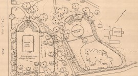
Located along the Richmond Slave Trail adjacent to I-95 on the border of Shockoe Bottom and Church Hill, this 5.7-acre rectilinear site incorporates portions of a burial ground established in the late eighteenth century for emancipated and enslaved African Americans. Purportedly the first public African American cemetery in the city, the burial ground was originally larger, with acreage lost to encroaching development.
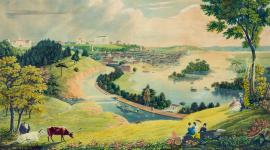
Established along Shockoe Creek, the site served as both a burial ground and gallows. After closing in 1816 following the establishment of Barton Heights Cemeteries (1815) and Shockoe Hill African Burial Ground (1816), a schoolhouse and jail was built on the property.
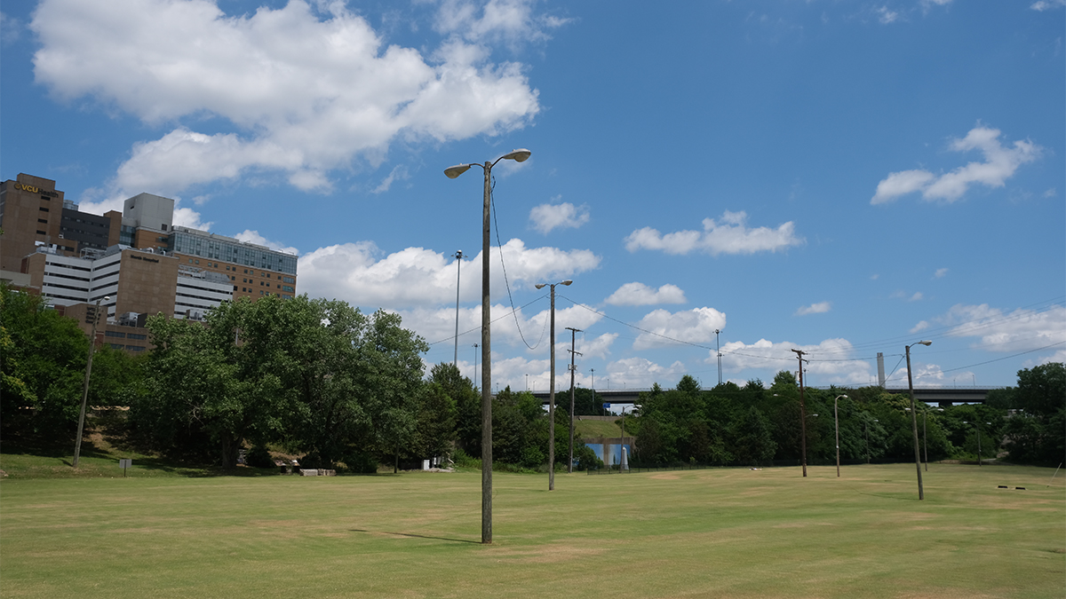
In 1923 the creek was channelized and in 1958 the Richmond-Petersburg Turnpike (now I-95) was established immediately west, obliterating much of the burial ground, which was paved with asphalt. In 2011 the pavement was removed and replaced with turf.
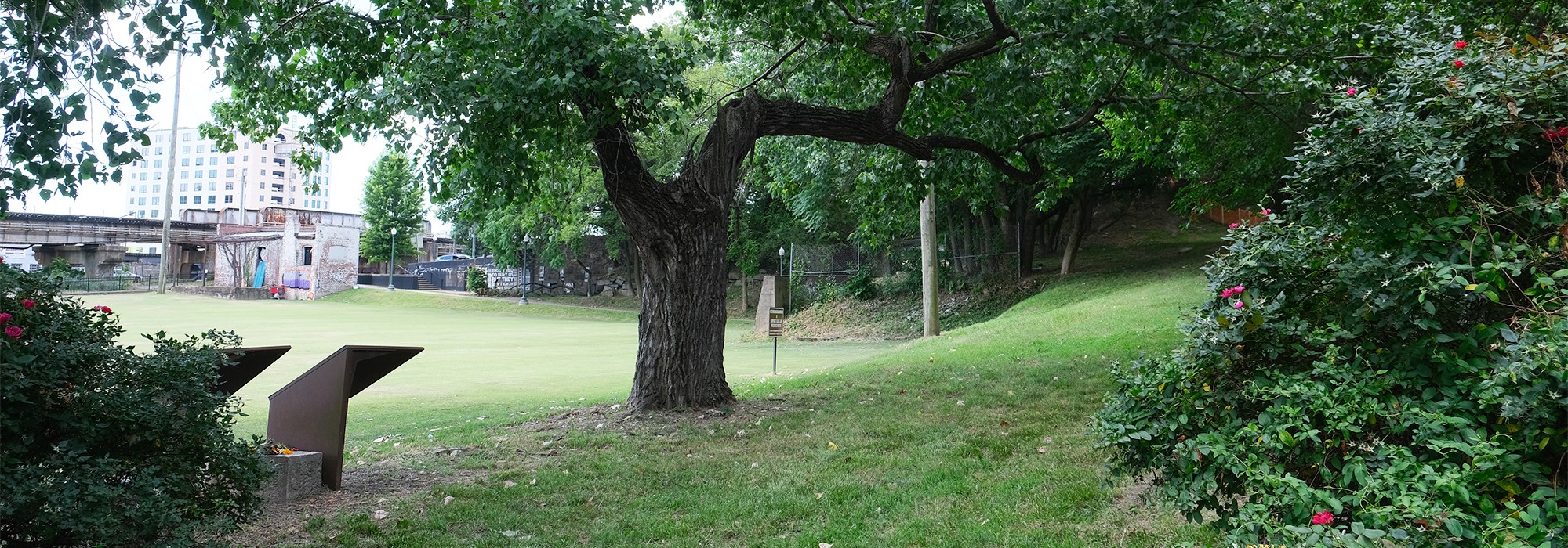
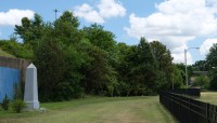
Partially framed by a metal fence, the burial ground is nestled between the highway and North Sixteen Street, which is laid with cobblestones and edged by elevated railroad tracks. The site, absent of grave markers, is characterized by relatively flat, open lawn interspersed with irregularly spaced utility poles. The highway is screened from view by a berm planted with deciduous trees.
Along the site’s western edge, planted with herbaceous perennials and shrubs, two cottonwood trees shade interpretive markers and backless stone benches. A brick path skirts the site’s southwestern edge, defined by East Broad Street, which rises to cross the highway. The path passes under the street at the burial ground’s western corner, connecting to the site of Lumpkin’s Slave Jail. Along the site’s northwestern edge is a modest apple tree orchard and a commemorative obelisk.
In 2024 an Historical Highway Marker was unveiled recognizing the site as the city’s first municipal African American cemetery.


