Landscape Information
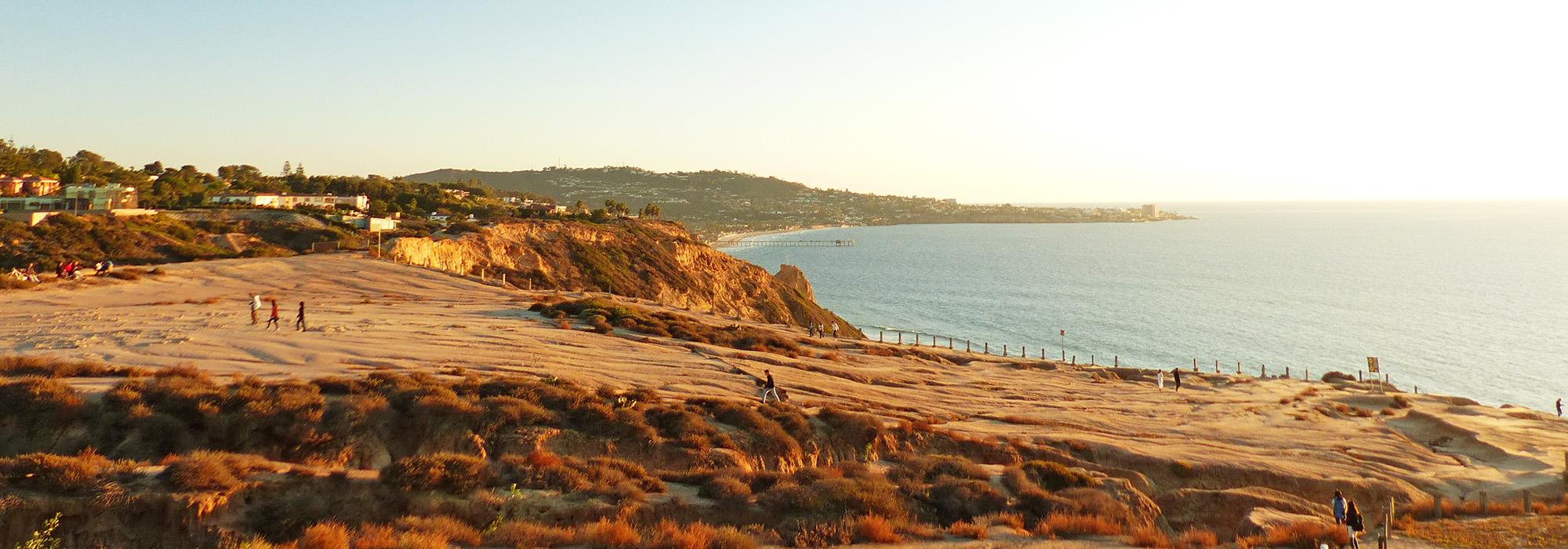
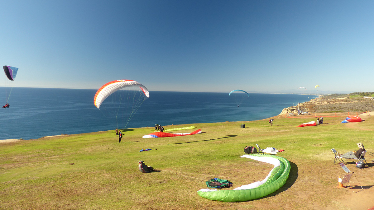
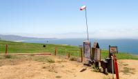
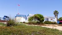
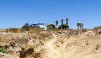
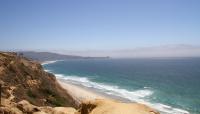
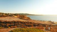
Commonly known as the “Kitty Hawk of the West,” this 74-acre gliderport has operated since the late 1920s. Located on a mesa perched atop 350-foot-high sandstone cliffs that border the Pacific Ocean, the site has long played an important role in West Coast aviation. In its early years as a sailplane-soaring runway, pilots, including Charles Lindbergh, used the prevailing afternoon seabreeze and updraft from the bluffs to set gliding records. The ideal soaring conditions allowed aviators to pioneer flight technologies that increased the efficiency of their aircraft, leading to inventions that helped move aviation forward as a whole, including airfoils, spoilers, and whole-airplane parachutes. In 1941 the U.S. Army converted the property to an anti-aircraft artillery training facility called Camp Callan. After World War II, the City of San Diego bought the land, made it public, and donated the dirt sailplane runway to the University of California, San Diego. Starting in the 1960s, new forms of gliders, like hang gliders, paragliders, and radio-controlled model aircraft, joined sailplanes in the air above the Pacific.
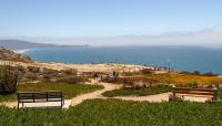
Adjacent to a central, grassy flight area, a tiered wooden viewing platform allows spectators to observe takeoffs and landings. Providing ample vistas of the ocean and La Jolla to the south, the mile long Gliderport Trail leads visitors from the viewing area through scrubby chaparral and down a steep stretch of coastline to Black’s Beach. Other trails connect the gliderport to the neighboring Torrey Pines State Natural Reserve and the Salk Institute for Biological Research. Torrey Pines Gliderport is the only paragliding and hang-gliding location next to the Pacific Ocean and is one of only five historically designated flight parks in the United States. Also known as Torrey Pines City Park, the gliderport was placed in the National Register of Historic Places in 1993.


