
Landscape Information
Situated approximately nine miles northeast of downtown Richmond, this 124-acre site, bounded by woodlands to the north, wooded marsh to the west and south, and a residential subdivision to the east, commemorates the Battle of Totopotomoy Creek, which is associated with Union General Ulysses S. Grant’s Overland Campaign that culminated in the Battle of Cold Harbor. From May 29 to 31, 1864, Union soldiers established their position north of the creek while Confederate soldiers defended the southern bank.
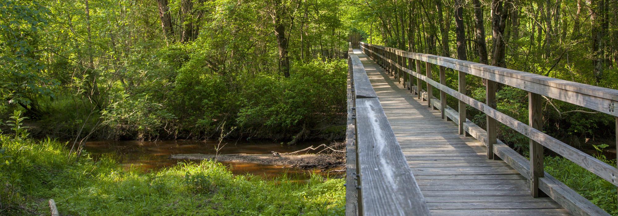
Sited atop a knoll, Shelton House (also known as Rural Plains), a two-story brick residence built in circa 1725, marks the entrance to the site. The house was used as a signal station and field headquarters for Union General Winfield S. Hancock, and although it was struck by more than fifty artillery shells, remains standing today. A 1.25-mile walking trail composed of grass, gravel, and dirt, traces the path of Union General Francis Barlow’s division’s march down a gently sloping grassy field and through the forest, past the 1,500 remaining feet of Union earthworks that line the north bank of the creek (approximately half of the extent of the original earthworks constructed there). A wooden footbridge crosses the shallow Totopotomoy Creek and the surrounding marsh, leading to a much steeper slope on the south bank with Confederate earthworks at the top. The trail connects to a residential enclave to its south. Totopotomoy Creek Battlefield was conveyed to the National Park Service in 2006 and became a contributing unit of Richmond National Battlefield Park, listed in the National Register of Historic Places in 1966.