Landscape Information
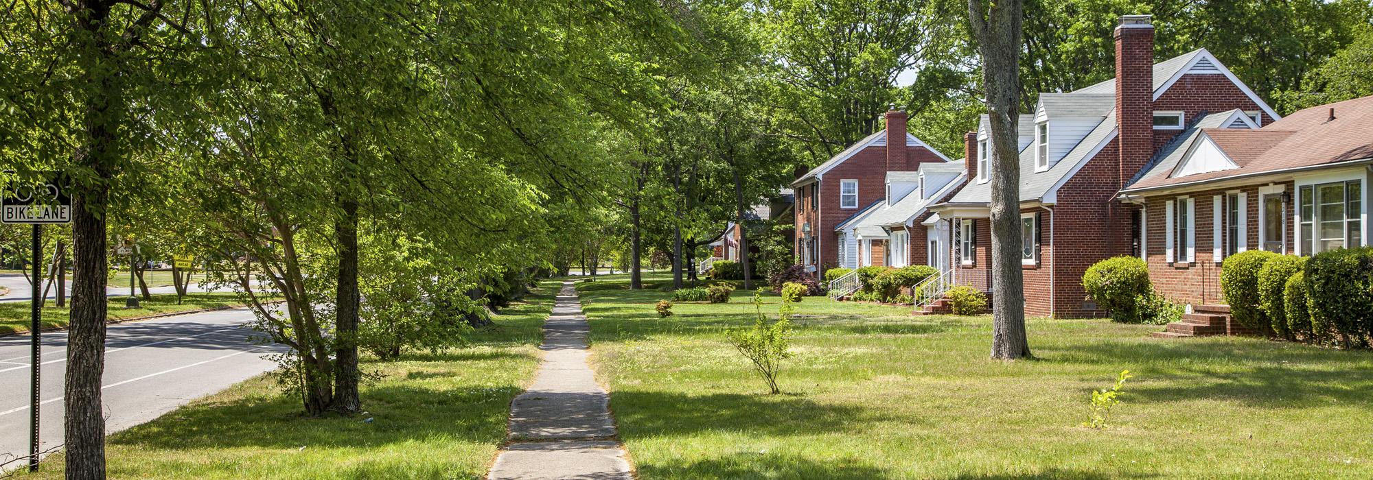
Stretching for three-quarters of a mile between Brook and Hermitage Roads, this parkway represents the sole realized feature of Frederick Law Olmsted, Sr.’s plan for Sherwood Park, the streetcar suburb commissioned in 1891 by local businessman Lewis Ginter. Located northwest of downtown Richmond, the 225-acre neighborhood was one of the earliest proposals for suburban development following the introduction of the electric streetcar in 1888. Here, Olmsted, Sr. planned the arcing Brookland Park Boulevard, now named Brookland Parkway, to be a central spine for Sherwood Park, flowing diagonally in counterpoint to the rectilinear city grid. Olmsted’s design for the suburb featured gently curving streets tracing the neighborhood’s topography, large lots with generous frontages, and oval-shaped blocks, some of which were three times the size of Richmond’s traditional rectilinear layout. Due to an economic downturn in 1895, Olmsted, Sr.’s plans for the suburb—save the boulevard—were never realized and, in the 1920s, rectangular blocks with modest frontages were developed.
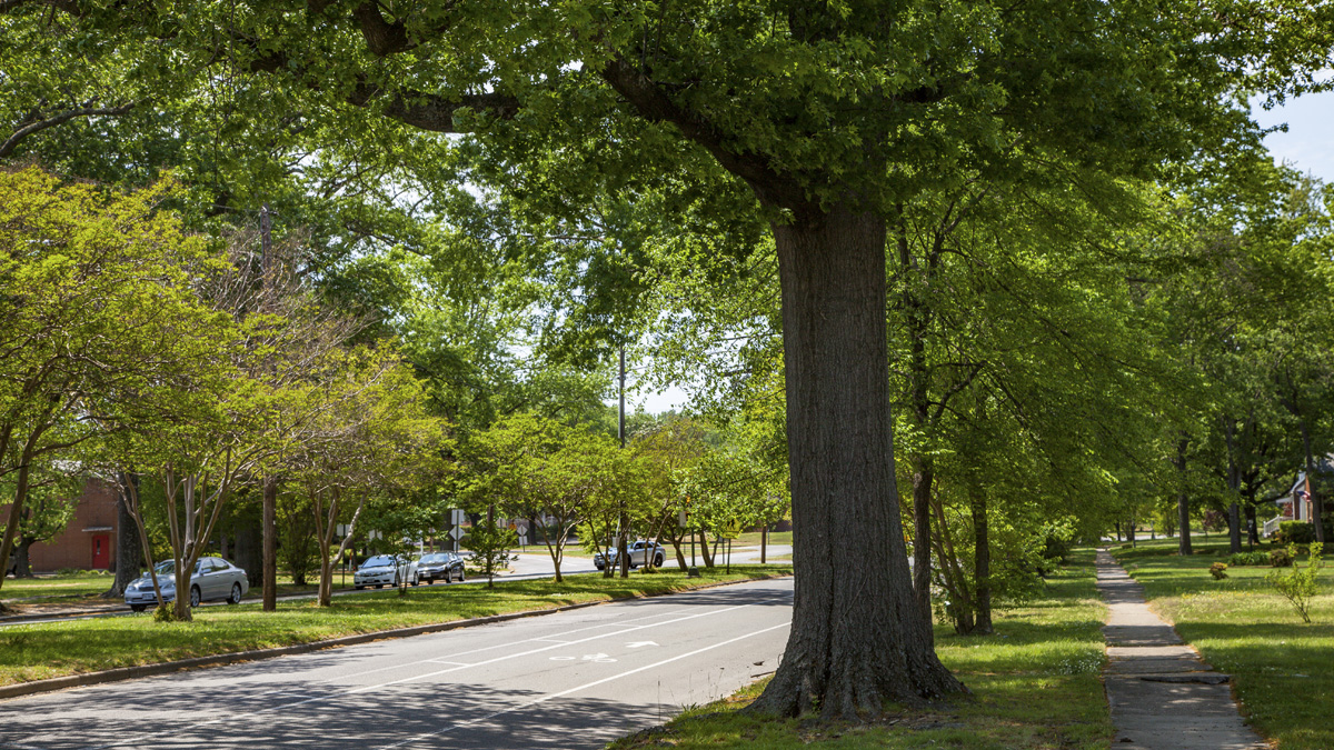
Today the 85-foot-wide parkway is divided by a 30-foot-wide grass median that separates two lanes of traffic each way. Crepe myrtles line the center strip, while the edges of the street are shaded by irregularly spaced canopy trees. The neighborhood’s secondary roads run parallel to the parkway and mimic its curvature. Set back from the street 50 feet on sloping hills, many of the homes lining the parkway are brick single-family dwellings with manicured lawns.