Landscape Information
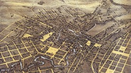
Following a catastrophic flood that killed 50 people in 1921, plans were made to control the San Antonio River by creating an upstream dam and a bypass for a large bend in the river. According to the plan, the bend would then be paved and converted into a storm sewer. Opponents to the latter part of the plan included the San Antonio Conservation Society and local architect Robert Hugman, who submitted a proposal in 1929 for a linear public park flanking the natural riverbed. In 1938 funds were appropriated for the construction of 2.5 miles of the River Walk, which was largely undertaken with Works Progress Administration labor.
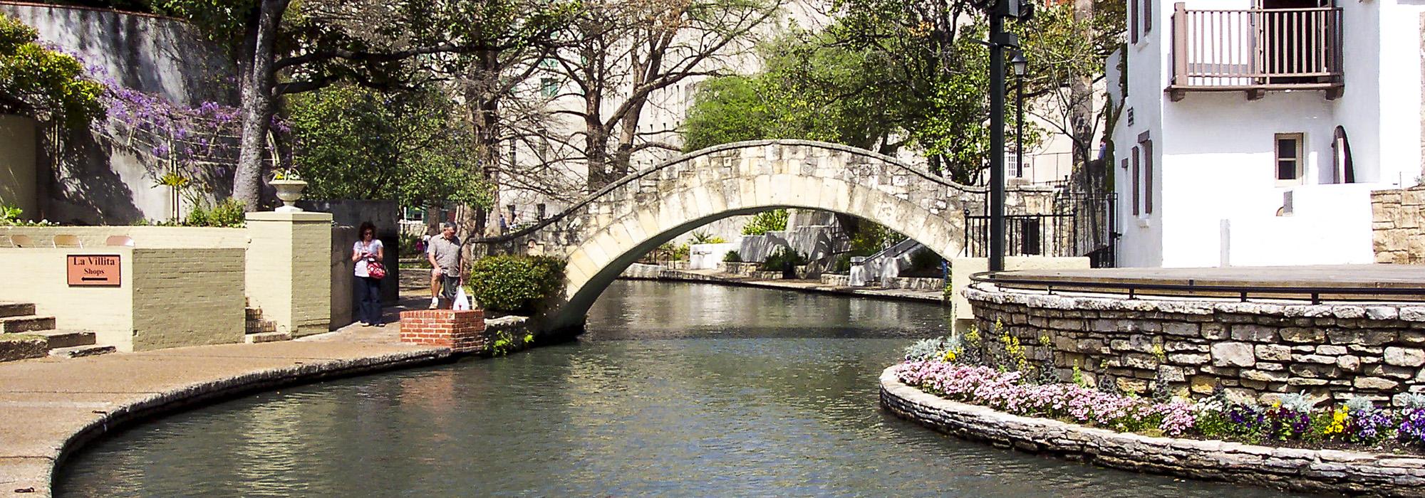
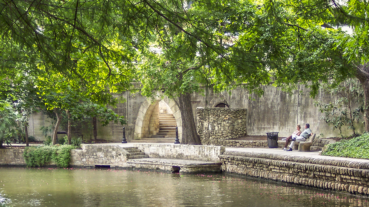
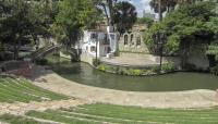
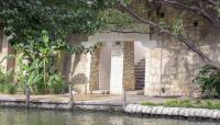
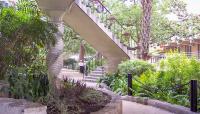
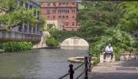
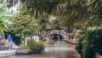
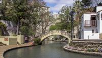
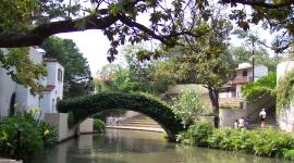
Today, the River Walk, now five miles long, is a pedestrian way sunken twenty feet below street level and comprising stone-paved sidewalks on either side of the river, rusticated stone retaining walls, twenty picturesque arched bridges, boat landings, and staircases. The walk is shaded by bald cypress and other mature trees and planted with beds of native shrubs and perennials. The walk incorporates constructed waterfalls and small pools, a river islet, and an amphitheater oriented toward the river. In 1955 San Antonio Parks and Recreation established a small botanical garden on the River Walk containing philodendron, banana plants, and palms. In 1962 some 17,000 trees, shrubs, and vines (along with other groundcover) were planted along two miles of the walk. Commercial and retail properties abut the walk, and plans to extend it by eight more miles would connect museums with historic districts, including eighteenth-century Spanish missions.


