Landscape Information
Designated in 1998, this 2.5-mile-long pedestrian route commemorates the city’s role in the Trans-Atlantic and domestic slave trades. Portions trace the route that thousands of enslaved African Americans were forced to march from the Manchester Docks, located on the southern bank of the James River, to the city’s auction houses. The path is marked by seventeen interpretive wayside stations designed by the architecture firm Baskervill in 2011.
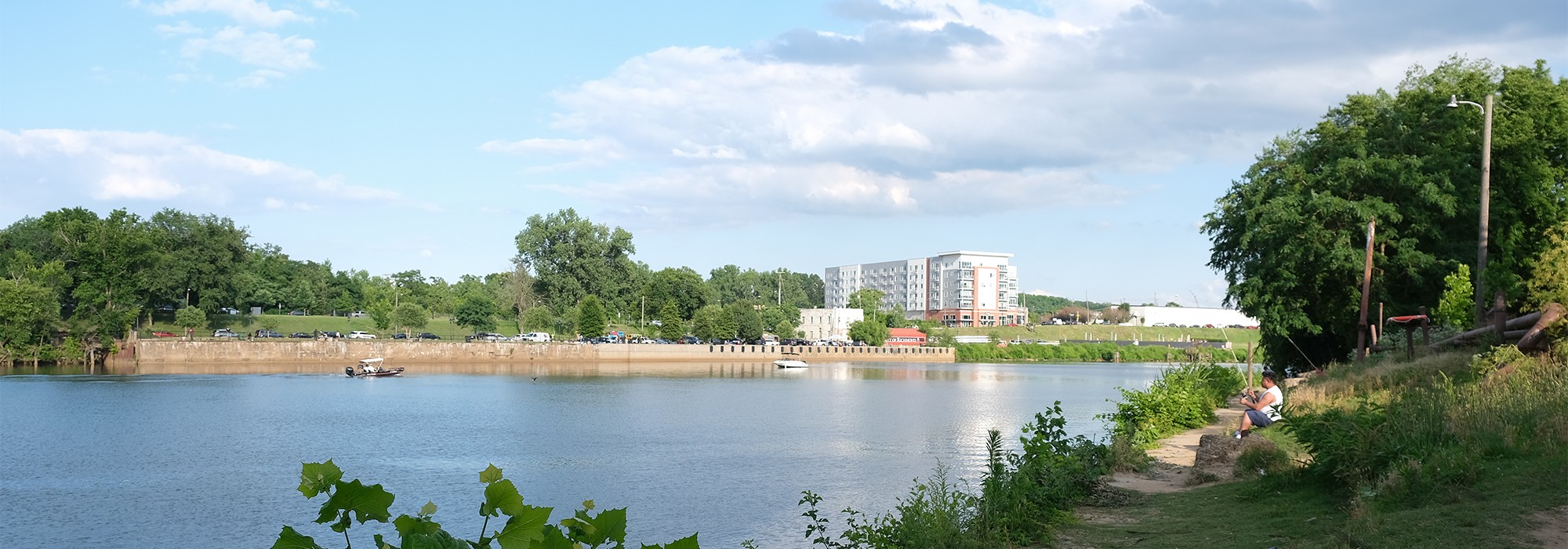
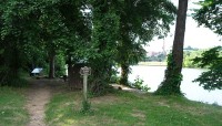
The trail begins at the former site of Manchester Docks (now Ancarrow’s Landing), which served as a major port in the domestic slave trade from 1830 to 1860. From here, an earthen path leads west along the riverbank, through a second-growth deciduous forest. Passing under I-95, the trail transitions to pavement.
Crossing the Mayo Bridge, the route travels along the Canal Walk (1999), designed by Wallace, Roberts and Todd, before turning north at Fifteenth Street. In the nineteenth century the street defined the edge of the city’s slave-trading district, which included auction houses, “slave jails,” and lodging.
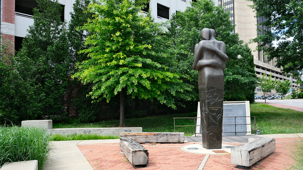
At the intersection of Main Street, the trail meets a modest, triangular memorial (2007), designed by sculptor Stephen Broadbent and Baskervill. Commemorating the triangular trade route, it features a centrally located, fifteen-foot bronze statue resting on a brick and concrete ground plane.
Continuing northeast, the trail passes Main Street Station and the site of the former Lumpkin’s Slave Jail. The route proceeds to the Shockoe Bottom African Burial Ground, where it pivots west, ending at the former First African Baptist Church. Erected in 1802 the Greek-Revival structure was acquired by an African American congregation in 1841 and served both free and enslaved members.
In 1969 the church was listed in the National Register of Historic Places and is now owned by Virginia Commonwealth University.


